
Country United States Counties Redwood Area code(s) 507 Elevation 317 m Population 5,135 (2013) | FIPS code 27-53656 Zip code 56283 Local time Sunday 12:11 PM | |
 | ||
Weather 3°C, Wind NE at 10 km/h, 88% Humidity | ||
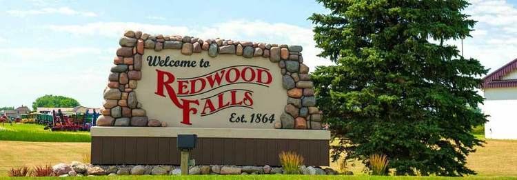
Redwood Falls is a city in Redwood County, located along the Redwood River near its confluence with the Minnesota River, in the U.S. state of Minnesota. The population was 5,254 at the 2010 census. It is the county seat.
Contents
- Map of Redwood Falls MN 56283 USA
- History
- 19th century
- 20th century to present
- Geography
- Climate
- 2010 census
- 2000 census
- References
Map of Redwood Falls, MN 56283, USA
History
As the immigrant and Euro-American population of the North American east coast region grew, population pressures affected people far inland. People moved west to find new homes as more and more land was used by farmers. The Minnesota area is the ancestral homeland of the several Dakota peoples, who consisted of the loosely confederated Oceti sakowin (Seven Council Fires). By 1700, Ojibwe, who spoke an Anishinaabe language, had also come to what is now Minnesota from further east around the Great Lakes. At times they came into conflict with the Dakota over land and resources, and began to push them to the west.
19th century
The site of the future town of Redwood Falls was within the Dakota reservation area along the lower Minnesota River.
In 1864, Sam McPhail, a colonel who had commanded U.S. troops in the war and was a land speculator, claimed the land where Redwood Falls was developed. He hired men to use lumber from the Dakota reservation to build a fortified house and surrounded it with a sod stockade eight feet tall. McPhail published the Redwood Falls Patriot from 1866 to 1869. He was a probate judge and first Redwood County attorney. In 1872, he donated land for the county courthouse as Redwood Falls was designated as the county seat.
Among settlers who joined McPhail in 1864 was John St. George Honner. Honner claimed land north of Redwood Falls. The house he built in 1869 still stands in North Redwood and is listed on the National Register of Historic Places. Honner was appointed as the first postmaster and also served as a county official. Active in electoral politics, he served as a representative and later as a senator in the state legislature between 1866 and 1874. Honner operated a granite quarry near North Redwood and supplied the stone for the county courthouse.
20th century to present
After World War II, Redwood Falls was home to the Minnesota Inventors Congress. Started in the 1958 to encourage innovation and entrepreneurship and attract industry to town, MIC held a juried exhibition each year. It also sponsored a contest for student inventors and a parade for the city. After a 58-year run, the MIC was ended in 2014 due to a lack of funding.
The city of Redwood Falls took over Alexander Ramsey Park in 1958 from the state of Minnesota. Ramsey had been one of the least used and least developed state parks. It has been improved as the largest municipal park in Minnesota.
The cities of North Redwood and Redwood Falls merged in 1996; they are now known as the single entity Redwood Falls. In 2010 Native Americans composed more than 6% of the population in the city. They continue to live in many areas of Minnesota.
Geography
According to the United States Census Bureau, the city has a total area of 5.38 square miles (13.93 km2); 5.25 square miles (13.60 km2) is land and 0.13 square miles (0.34 km2) is water. The Redwood River flows through the city near its mouth at the Minnesota River.
Redwood Falls is located along U.S. Highway 71. Other main highways in the city include Minnesota State Highways 19 and 67.
Climate
Redwood Falls has a hot-summer humid continental climate (Köppen Dsa), with hot summers and freezing winters.
2010 census
As of the census of 2010, there were 5,254 people, 2,265 households, and 1,341 families residing in the city. The population density was 1,000.8 inhabitants per square mile (386.4/km2). There were 2,465 housing units at an average density of 469.5 per square mile (181.3/km2). The racial makeup of the city was 87.8% White, 0.6% African American, 6.6% Native American, 0.7% Asian, 0.6% from other races, and 3.6% from two or more races. Hispanic or Latino of any race were 3.3% of the population.
There were 2,265 households of which 28.9% had children under the age of 18 living with them, 42.8% were married couples living together, 12.1% had a female householder with no husband present, 4.3% had a male householder with no wife present, and 40.8% were non-families. 37.0% of all households were made up of individuals and 17.9% had someone living alone who was 65 years of age or older. The average household size was 2.23 and the average family size was 2.89.
The median age in the city was 42.1 years. 24.3% of residents were under the age of 18; 7.3% were between the ages of 18 and 24; 21.4% were from 25 to 44; 26.4% were from 45 to 64; and 20.7% were 65 years of age or older. The gender makeup of the city was 47.7% male and 52.3% female.
2000 census
As of the census of 2000, there were 5,459 people, 2,266 households, and 1,389 families residing in the city. The population density was 1,167.1 people per square mile (450.4/km²). There were 2,377 housing units at an average density of 508.2 per square mile (196.1/km²). The racial makeup of the city was 93.28% White, 0.22% African American, 3.88% Native American, 0.48% Asian, 0.04% Pacific Islander, 0.77% from other races, and 1.34% from two or more races. Hispanic or Latino of any race were 1.92% of the population.
There were 2,266 households out of which 30.1% had children under the age of 18 living with them, 49.2% were married couples living together, 9.2% had a female householder with no husband present, and 38.7% were non-families. 34.2% of all households were made up of individuals and 16.5% had someone living alone who was 65 years of age or older. The average household size was 2.29 and the average family size was 2.94.
In the city, the population was spread out with 25.0% under the age of 18, 6.9% from 18 to 24, 25.6% from 25 to 44, 23.1% from 45 to 64, and 19.3% who were 65 years of age or older. The median age was 40 years. For every 100 females there were 92.2 males. For every 100 females age 18 and over, there were 87.1 males.
The median income for a household in the city was $38,812, and the median income for a family was $52,589. Males had a median income of $31,776 versus $24,085 for females. The per capita income for the city was $22,279. About 5.3% of families and 7.5% of the population were below the poverty line, including 6.3% of those under age 18 and 10.8% of those age 65 or over.