
Progression Southwest-northeast Discharge 139 m³/s | Length 289 km Basin area 16,400 km² | |
 | ||
Main source Redstone Plateau1,068 m (3,504 ft) River mouth Mackenzie River133 m (436 ft) Basin size 16,400 km (6,300 sq mi) Tributaries Left:Moose Horn River, Parallel CreekRight:Ravens Throat River | ||
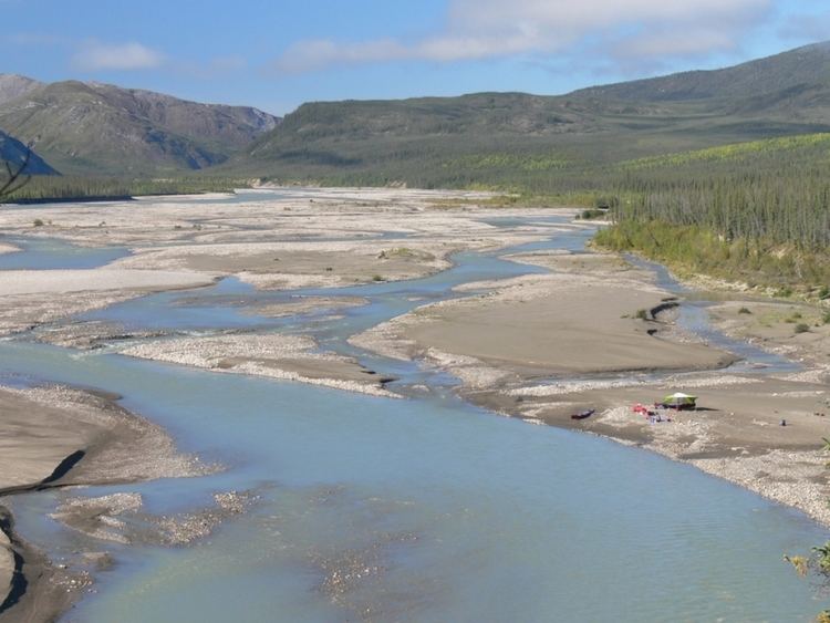
The Redstone River is a large river in the Northwest Territories of Canada. It is about 289 kilometres (180 mi) long. It is a tributary of the Mackenzie River, joining it on the left bank some 100 kilometres (62 mi) north of Wrigley. Draining a rugged and high area of the Mackenzie Mountains, the Redstone watershed is sparsely populated; in fact, there are no significant settlements within the basin.
Contents
Map of Redstone River, Northwest Territories, Canada
Course
It begins in several ponds on Rockslide Pass south of the Redstone Plateau deep within the Mackenzie Mountains, at an elevation of 1,068 metres (3,504 ft). The river initially flows northwest, turning west where the Moose Horn River enters from the left. It makes a bend to the north, turning south near Wrigley Lake, and receives one of its larger tributaries, the Ravens Throat River, as it cuts through the Redstone Range. The Redstone turns north, bending west around the Silvan Plateau, leaving its canyon and spreading onto the plains surrounding the Mackenzie River, which it joins about 40 kilometres (25 mi) after that point, at just 133 metres (436 ft) above sea level, 13 kilometres (8 mi) upstream from the Keele River.
Watershed
The Redstone's watershed encompasses an area of roughly 16,400 km2 (6,300 sq mi). Its average annual discharge, measured at a gauge near the mouth from 1963 to 1974, was roughly 139 cubic metres per second (4,900 cu ft/s). The highest monthly flows occurred in August at 454 cubic metres per second (16,000 cu ft/s), and the lowest was 15.7 cubic metres per second (550 cu ft/s) in March, because of its dependence on glacier and snow melt in the brief Arctic summer. The highest recorded flow was 545 cubic metres per second (19,200 cu ft/s) in July 1968, and the lowest was 11.3 cubic metres per second (400 cu ft/s) in February 1972.