
Local time Sunday 9:21 AM | ||
 | ||
Weather 3°C, Wind NW at 5 km/h, 58% Humidity | ||
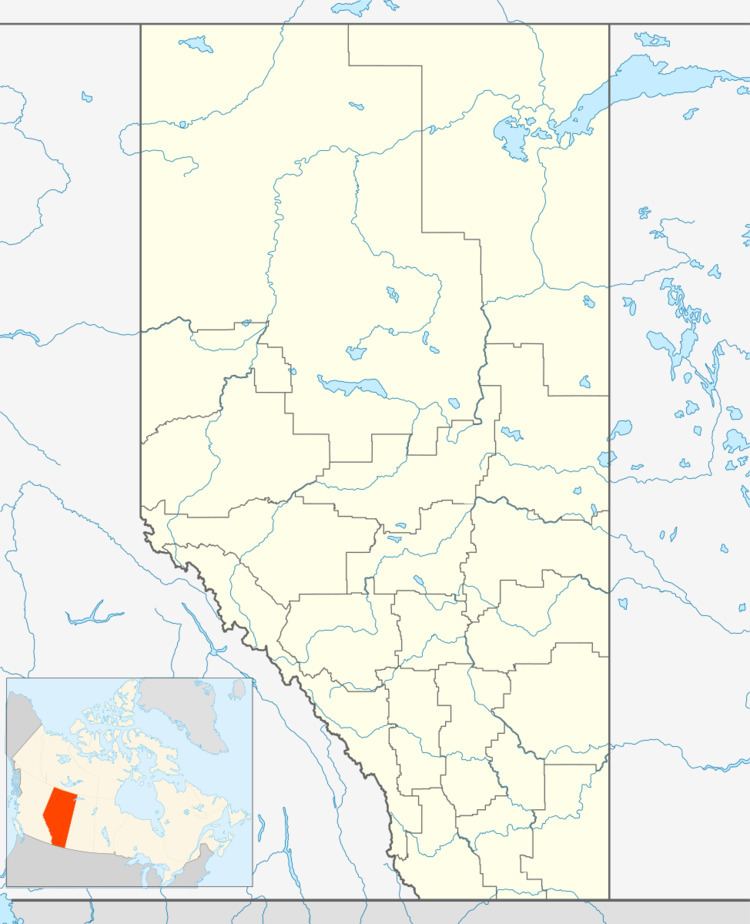
Redland is an unincorporated community in Alberta, Canada within Wheatland County that is recognized as a designated place by Statistics Canada. It is located on Range Road 222A, 4 km (2.5 mi) west of Highway 840.
Contents
Map of Redland, AB, Canada
Demographics
As a designated place in the 2016 Census of Population conducted by Statistics Canada, Redland recorded a population of 15 living in 8 of its 9 total private dwellings, a change of 5000000000000000000♠0% from its 2011 population of 15. With a land area of 0.14 km2 (0.054 sq mi), it had a population density of 107.1/km2 (277.5/sq mi) in 2016.
As a designated place in the 2011 Census, Redland had a population of 15 living in 8 of its 8 total dwellings, a 0% change from its 2006 population of 15. With a land area of 0.14 km2 (0.054 sq mi), it had a population density of 107/km2 (277/sq mi) in 2011.