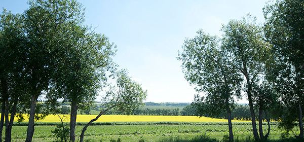
Country Canada Census division No. 5 Incorporated 1961 (County) Population 8,788 (2016) | Established 1955 Time zone MST (UTC-7) Capital Strath | |
 | ||
Wheatland County is a municipal district in south-central Alberta, Canada, east of Calgary. Located in Census Division No. 5, its municipal office is located east of the Town of Strathmore on Highway 1.
Contents
Map of Wheatland County, AB, Canada
Demographics
In the 2016 Census of Population conducted by Statistics Canada, Wheatland County recorded a population of 8,788 living in 2,836 of its 3,117 total private dwellings, a 6.1% change from its 2011 population of 8,285. With a land area of 4,545.92 km2 (1,755.19 sq mi), it had a population density of 1.9/km2 (5.0/sq mi) in 2016.
In the 2011 Census, Wheatland County had a population of 8,285 living in 2,659 of its 2,941 total dwellings, a 2.2% change from its 2006 adjusted population of 8,109. With a land area of 4,539.26 km2 (1,752.62 sq mi), it had a population density of 1.8/km2 (4.7/sq mi) in 2011.
In 2006, Wheatland County had a population of 8,164 living in 2,620 dwellings, a 3.5% increase from 2001. The county has a land area of 4,550.92 km2 (1,757.12 sq mi) and a population density of 1.8/km2 (4.7/sq mi).
In 2001, the municipal district had a population of 7,889 in 2,516 dwellings, a 12.4% increase from 1996. On a surface of 4,551.20 km² it had a density of 1.7 inhabitants/km².
