
OS grid reference SJ827512 Post town Newcastle Local time Sunday 11:18 AM Dialling code 01782 | Sovereign state United Kingdom Postcode district ST5 7 | |
 | ||
Weather 11°C, Wind E at 18 km/h, 49% Humidity District Borough of Newcastle-under-Lyme | ||
Shwetha kathi fly to us from red street of mumbai
Red Street is a small, rural village in the borough of Newcastle-under-Lyme, Staffordshire 6 miles (9.7 km) north west of Stoke on Trent and 2 miles (3.2 km) east of the neighbouring village of Audley.
Contents
- Shwetha kathi fly to us from red street of mumbai
- Map of Red Street Newcastle UK
- Wedgwood Monument
- Sport
- References
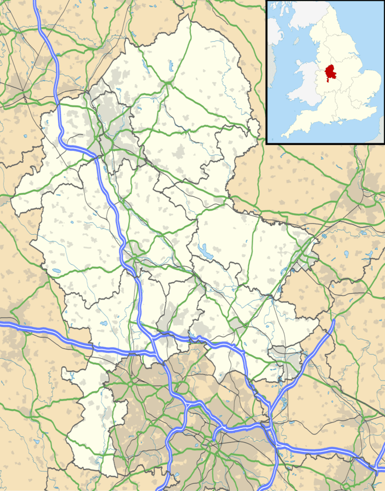
Map of Red Street, Newcastle, UK
Local amenities include a pub, butchers shop, church and primary school.
Wedgwood Monument
Red Street is home to a large stone monument on the summit of Bignall Hill, which is dedicated to John Wedgwood (1760-1839). Wedgwood's monument was initially an obelisk erected in 1850. Following storm damage in 1976 it was reduced to a quarter of its original size, although the base is still substantial. The monument is a Grade II listed building. The monument is today reachable by footpaths off Deans Lane, and is the highest point in the area. It affords sweeping 360-degree views: south to the city of Stoke-on-Trent; north across the Cheshire Plains to Jodrell Bank; east to Mow Cop Castle and the Peak District; and west to the mountains of North Wales and Snowdonia.
Sport
The village has its own football club Redstreet FC.