
- elevation 152 m (499 ft) Mouth Bass Strait | - elevation 0 m (0 ft) | |
 | ||
- location southwest of Sandpatch Point | ||
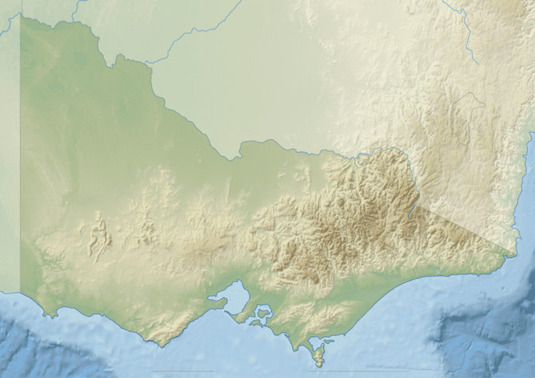
The Red River is a perennial river with no defined major catchment, located in the East Gippsland region of the Australian state of Victoria.
Contents
Map of Red River, Wingan River VIC, Australia
Course and features
The Red River rises in remote country in the Benedore River Reference Area in the Croajingolong National Park, and flows generally south by east, before reaching its mouth with Bass Strait southwest of Sandpatch Point in the Shire of East Gippsland. The river descends 152 metres (499 ft) over its 7 kilometres (4.3 mi) course.
References
Red River (Victoria) Wikipedia(Text) CC BY-SA