
Length 3.2 km | ||
 | ||
Districts Binondo, Quiapo, Manila, Sampaloc, Manila, San Miguel, Manila, San Nicolas, Manila, Santa Cruz, Manila, Tondo | ||
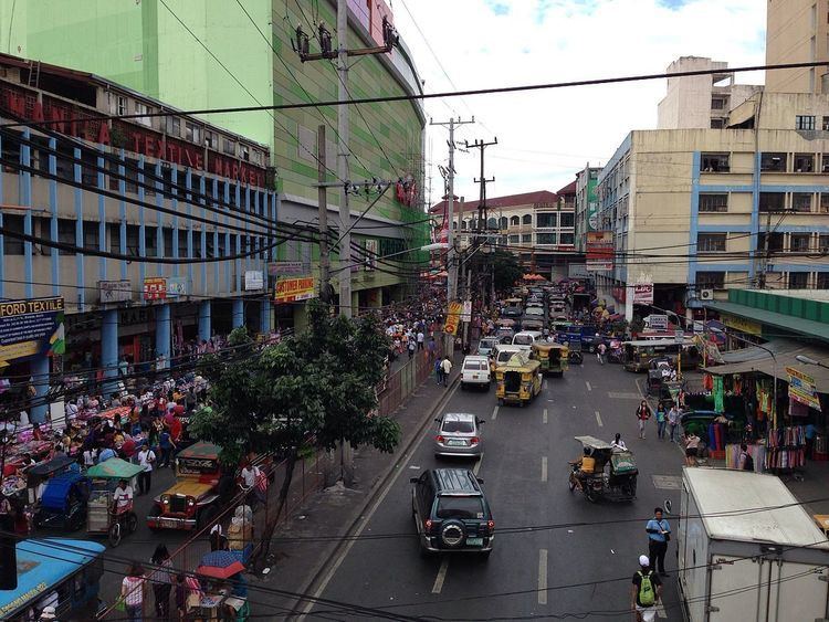
Claro M. Recto Avenue, more popularly known as simply Recto Avenue, is the principal commercial thoroughfare in north central Manila, Philippines. It spans seven districts just north of the Pasig River in what is generally considered Manila's old downtown area.
Contents
Map of Recto Ave, Manila, Metro Manila, Philippines
Recto's western terminus is at an intersection with Marcos Road (Radial Road 10) in Tondo close to the Manila North Harbor and San Nicolas district. It runs northeast before curving to the east at Juan Luna Street and Estero de Binondo. It then passes through the Divisoria shopping area of Manila south of the Tutuban railway station until it curves southeast past the Antonio Rivera Street junction. East of Rizal Avenue and Santa Cruz district, Recto intersects with the streets of the University Belt area of Quiapo and Sampaloc before terminating at Legarda Street and Mendiola Bridge in San Miguel.
The Manila Light Rail Transit System Line 2 runs along its Rizal Avenue–Legarda Street segment. It has a short extension into San Miguel and the gated Malacañan Palace compound as Mendiola Street.
History
Recto Avenue was developed in different time periods and in different sections during Spanish rule. The main section leading to the coast in San Nicolas and Tondo from Binondo was named Paseo de Azcárraga, after the Filipino-Spanish Prime Minister, Marcelo Azcárraga Palmero. In Santa Cruz, the road was split into Calle General Izquierdo, Calle Paz and Calle Bilibid by three esteros (creeks) that ran through the district. And in Sampaloc, the road was named Calle Iris which terminated at Calle Alix (now Legarda Street). The name Paseo de Azcárraga was extended to include the full length of the street which was also called Paseo de Felipe at one point (after King Philip II of Spain). And, finally, in 1961, the avenue was given its present name after the Filipino senator, Claro Mayo Recto.
On July 7, 1892, in a building numbered 72 calle Azcarraga, at the intersection with calle Sagunto (now Santo Cristo) in Tondo, Andres Bonifacio founded the revolutionary society of Katipunan.
In the early 1900s, the avenue was a theater-and-restaurant row, with Teatro Libertad and Zorilla Theater attracting the well-dressed crowd to their zarzuela shows and operas on weekends.
Transportation
Recto Avenue is a major stop on three lines of the Metro Manila Transit System.
The route is also served by several bus companies and jeepneys.