
Elevation 275 m Local time Saturday 12:06 PM | GNIS feature ID 0468589 Area 70.21 km² Population 300 (2000) | |
 | ||
Weather 4°C, Wind NE at 21 km/h, 91% Humidity | ||
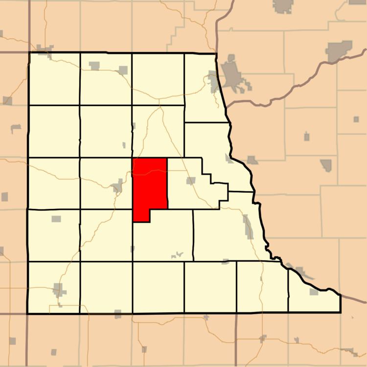
Read Township is a township in Clayton County, Iowa, USA. As of the 2000 census, its population was 300.
Contents
Map of Read, IA, USA
History
Read Township was organized in 1856. It is named for Robert R. Read.
Geography
Read Township covers an area of 27.11 square miles (70.2 km2) and contains no incorporated settlements. According to the USGS, it contains six cemeteries: Clayton Center, Colony Catholic, County Home, Meenan, Union and Zion Lutheran.
The streams of Bente Branch and Spring Branch run through this township.
References
Read Township, Clayton County, Iowa Wikipedia(Text) CC BY-SA