
District Guntur PIN 522237 Area 24.34 km² Population 4,817 (2011) | Time zone IST (UTC+5:30) Vehicle registration AP-07 Local time Saturday 3:57 PM | |
 | ||
Weather 37°C, Wind S at 18 km/h, 31% Humidity | ||
Rayapudi is a neighbourhood and a part of Urban Notified Area of Amaravati, the state capital of the Indian state of Andhra Pradesh. It was a village in Thullur mandal of in Guntur district, prior to its denotification as gram panchayat.
Contents
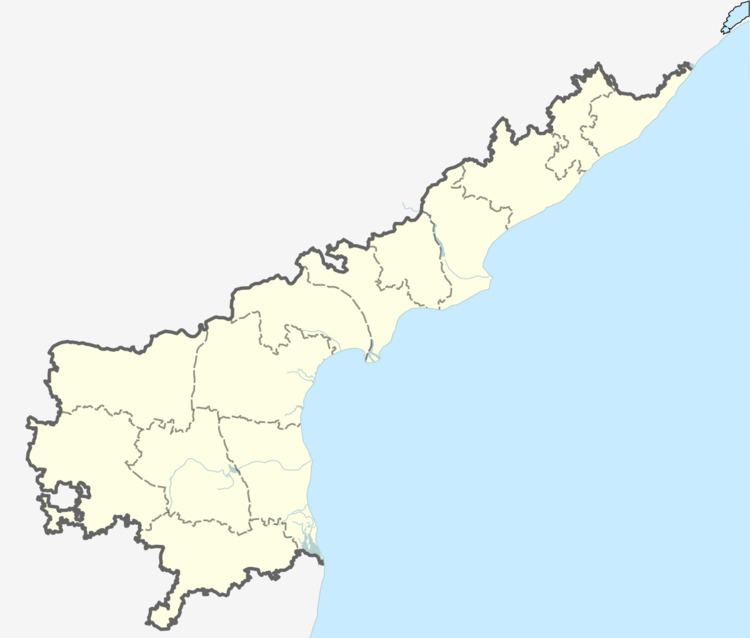
Map of Rayapudi, Andhra Pradesh 522237
Transport
Rayapudi is located on the Vijayawada-Amaravati road. APSRTC operates buses on this route from Pandit Nehru bus station of Vijayawada.
References
Rayapudi Wikipedia(Text) CC BY-SA