
Topo map USGS Winchester Country United States of America | Elevation 814 m | |
 | ||
District | ||
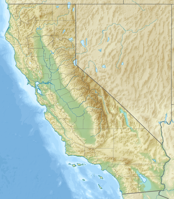
The Rawson Mountains are a mountain range in Riverside County, California. The Rawson Mountains are located south of the Diamond Valley Lake, southeast of Domenigoni Valley, east of French Valley, west of Goodhart Canyon and north of Bachelor Mountain, Auld Valley (above Lake Skinner) and Black Mountain. The Rawson Mountains are composed primaily of metamorphic rock of the Triassic - Jurassic French Valley formation, formed as a roof pendant of the Peninsular Range Batholith. The extreme western end of the range and various intrusions within it are Cretaceous granitic rock.
Map of Rawson Mountains, California 92596, USA
Crown Valley in the midst of the range is drained to the south by Rawson Canyon Creek into Tucalota Creek before it enters Lake Skinner. Its western and northern slopes drain into Warm Springs Creek watershed of the Santa Margarita River, or the reservoir. To the northeast the drainage is into the eastern Diamond Valley and the San Jacinto River.