
Country United States GNIS feature ID 1022172 Zip code 28719 | Time zone Eastern (EST) (UTC-5) Elevation 663 m Area code 828 | |
 | ||
Weather 10°C, Wind NW at 0 km/h, 80% Humidity | ||
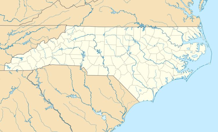
Ravensford is an unincorporated community in Swain County, North Carolina. Located along the banks of Raven Fork, a tributary of the Oconaluftee River, it was established as a mill town, sometime between 1900-1910. With a varying population from 200-1,000 people, it operated as a company town, where the mill owned an operated everything, from housing to the school/church building. In 1933, Ravensford Lumber Company sold the town and area to the National Park Service for over $33 an acre; In 1934, it became part of the Great Smoky Mountains National Park.
In 1938, the U.S. Government, the State of North Carolina and the Eastern Band of Cherokee Indians made a compromise that transferred land at Ravensford into the Qualla Boundary in exchange for land ceded for the Blue Ridge Parkway. As part of the compensation, North Carolina constructed a new highway (US 19) through Soco Gap and Qualla Boundary.
Ravensford since then has become the southern terminus of the Blue Ridge Parkway in the Oconaluftee area of the Great Smoky Mountains National Park. Within the Qualla Boundary area of Ravensford lies Cherokee High School, built in 2010, and a few homes dotted along Big Cove Road.