
Territorial authority Local time Saturday 6:28 PM | Ward Coast | |
 | ||
Weather 22°C, Wind NE at 10 km/h, 74% Humidity | ||
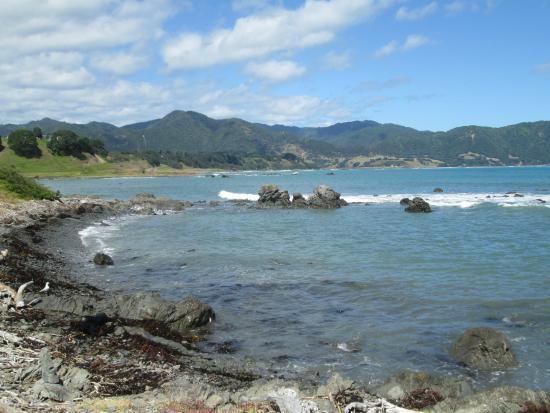
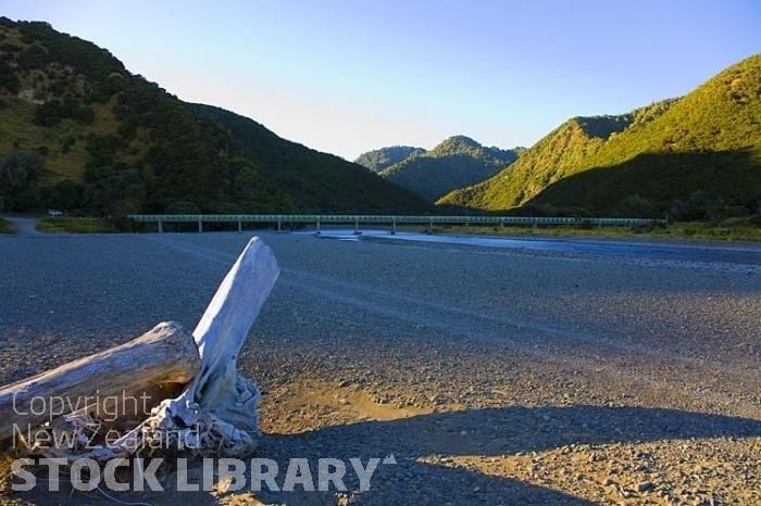
Raukokore river
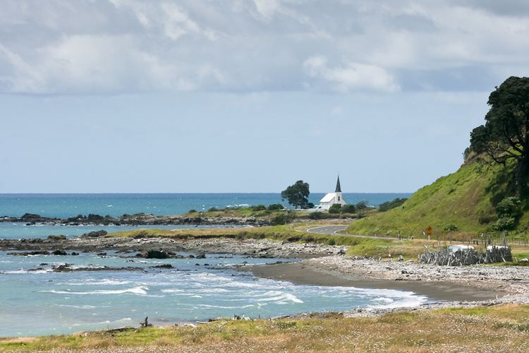
Raukokore is a small settlement close to the East Cape in the northeastern North Island of New Zealand. It is located on State Highway 35, close to the mouth of the Raukokore River, 40 kilometres to the west of Hicks Bay.
Contents
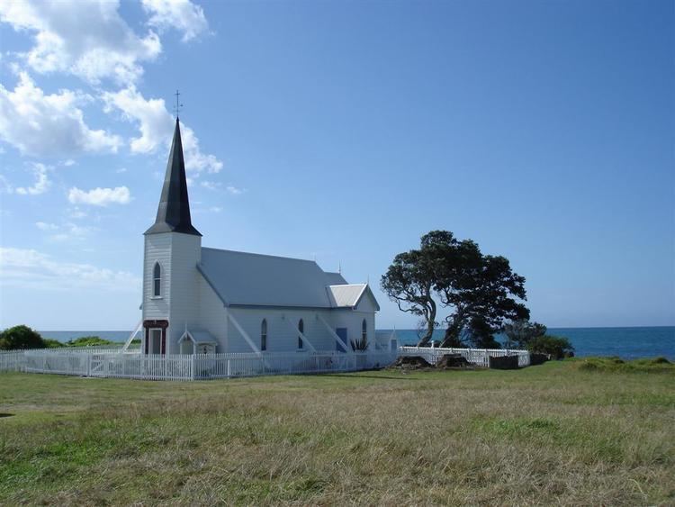
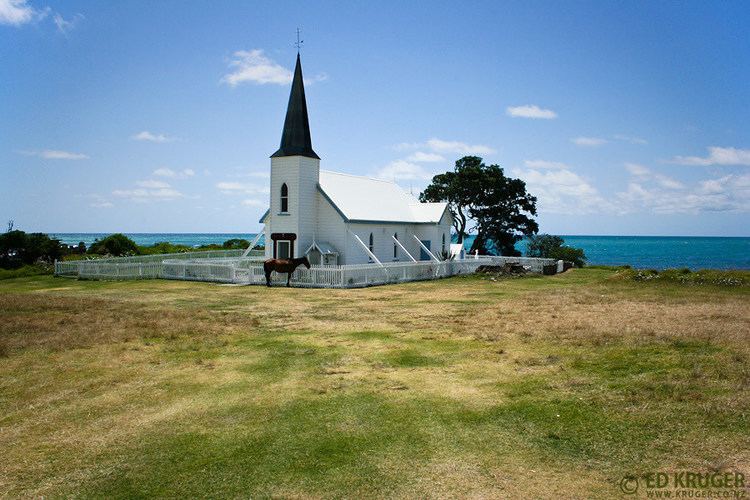
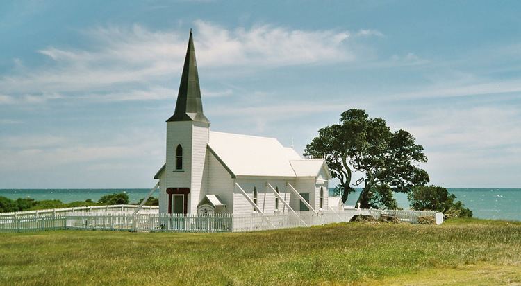
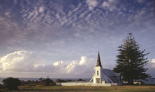
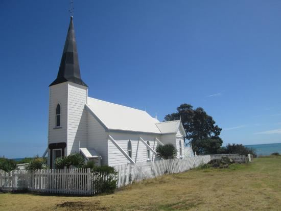
Raukokore's most notable feature is its Anglican church, a landmark of the East Cape region, which stands isolated close to the shore of Papatea Bay. The church was named as one of the East Cape/Gisborne region's "101 must-do" sites by the New Zealand Automobile Association.
It is administered by the Opotiki District Council.
East cape raukokore river after the floods new zealand north island

References
Raukokore Wikipedia(Text) CC BY-SA