
 | ||
Similar East Cape Lighthouse, Mount Hikurangi, Mahia Peninsula, Whakaari / White Island, Bay of Islands | ||
Day 27 gisborne to east cape multilingual mayor beautiful beaches nz s longest wharf
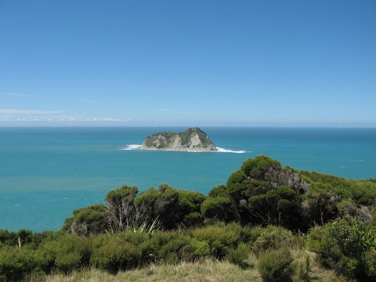
East Cape is the easternmost point of the main islands of New Zealand. It is located to the north of Gisborne in the northeast of the North Island.
Contents
- Day 27 gisborne to east cape multilingual mayor beautiful beaches nz s longest wharf
- Map of East Cape 4087 New Zealand
- Maps virtual nz road trip whanganui otakeho whakatane east cape gisborne opotiki 1133km
- References
Map of East Cape, 4087, New Zealand
The name "East Cape" is also used to refer to the Gisborne region around the cape stretching from just north of the Mahia Peninsula northwards, and inland to Te Urewera National Park. This region was the site of many of the major conflicts of the New Zealand land wars in the 1860s.
Maps virtual nz road trip whanganui otakeho whakatane east cape gisborne opotiki 1133km
References
East Cape Wikipedia(Text) CC BY-SA