
Country United States Counties Clinton, Lycoming Time zone Eastern (EST) (UTC-5) Elevation 271 m Zip code 17740 | State Pennsylvania FIPS code 42-63496 Area 4.6 km² Population 726 (2010) | |
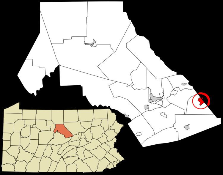 | ||
Rauchtown is a census-designated place in Crawford Township, Clinton County, and a small portion in Limestone Township, Lycoming County, in the U.S. state of Pennsylvania. As of the 2010 census the population was 726.
Rauchtown is on Pennsylvania Route 880 on the border between southeast Clinton County and southwest Lycoming County, at the western end of a valley between Bald Eagle Mountain to the north and Nippenose Mountain to the south. Ravensburg State Park is on the southern edge of Rauchtown, in the narrow valley of Rauchtown Creek coming out of Nippenose Mountain. PA 880 leads north (via PA 44) 7 miles (11 km) to the borough of Jersey Shore and south 6 miles (10 km) to the unincorporated community of Carroll, 1 mile (1.6 km) west of Exit 192 on Interstate 80.