Vehicle registration HR 59 Elevation 210 m Local time Saturday 8:45 AM | Time zone IST (UTC+5:30) Website haryana.gov.in Population 37,152 (2011) | |
 | ||
Weather 23°C, Wind NW at 6 km/h, 48% Humidity Neighborhoods Naharka Mohalla, Anaj Mandi, Tibba Colony, Shakti Nagar | ||
Ratia is a city and a municipal committee in Fatehabad district in the Indian state of Haryana.
Contents
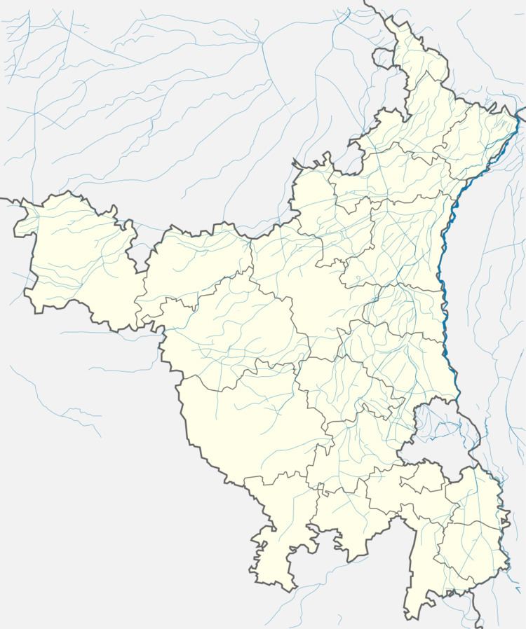
Map of Ratia, Haryana 125051
Geography
Ratia is located on the bank of the Ghaggar River about 23 km north of Fatehabad. It has an average elevation of 210 metres (688 feet).
Demographics
As of 2011 India census, The Ratia Municipal Committee has population of 37,852 of which 19,937 are males while 17,915 are females. Population of Children with age of 0-6 is 4683 which is 12.60 % of total population of Ratia (MC). Female Sex Ratio is of 911 against state average of 879. Moreover Child Sex Ratio in Ratia is around 846 compared to Haryana state average of 834. Literacy rate of Ratia city is 72.89 % lower than state average of 75.55 %.Male literacy is around 78.28 % while female literacy rate is 67.04 %.
