
Time zone MMT (UTC+6.30) Local time Saturday 9:26 AM | Township Rathedaung Township Area code(s) 42, 43 Population 7,511 (2014) | |
 | ||
Weather 26°C, Wind SE at 3 km/h, 74% Humidity | ||
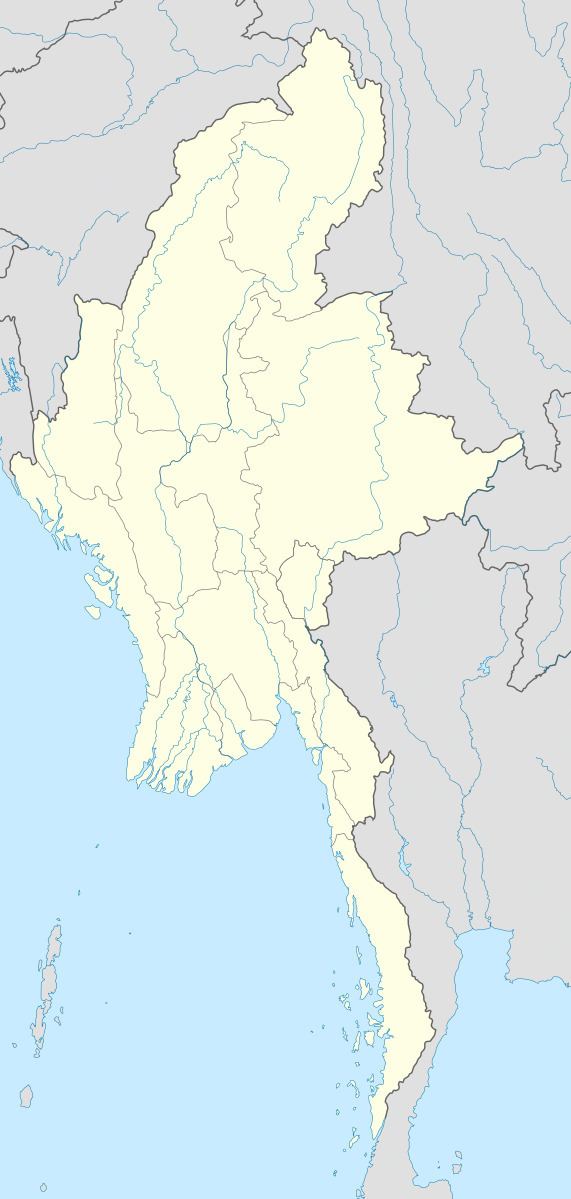
Rathedaung (Burmese: ရသေ့တောင်မြို့) is the administrative town of Rathedaung Township in the Rakhine State of westernmost part of Myanmar (Burma). It is 65 kilometers (40 miles) north of Sittwe.
Contents
Map of Rathedaung, Myanmar (Burma)
There were at least 12 casualties in Rathedaung Township during communal clashes of June 2012. Two were Muslims and ten were Buddhists.
Villages within the township
References
Rathedaung Wikipedia(Text) CC BY-SA