
Population 141 (2011) Civil parish Ratcliffe-on-Soar Local time Saturday 2:19 AM | OS grid reference SK495295 Sovereign state United Kingdom Dialling code 01509 | |
 | ||
Weather 2°C, Wind N at 3 km/h, 97% Humidity | ||
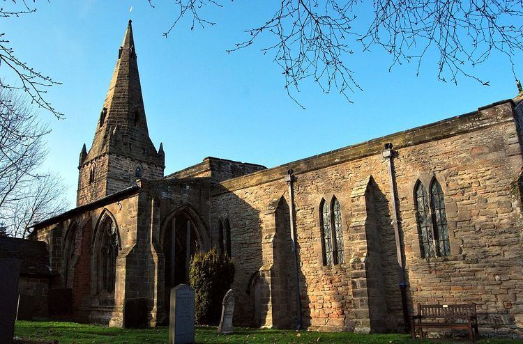
Ratcliffe-on-Soar is a village and civil parish in Nottinghamshire on the River Soar. It is part of the Rushcliffe district, and is the site of Ratcliffe-on-Soar Power Station. Nearby places are Kingston on Soar and Trentlock. With a population of around 100, measured at 141 in the 2011 Census, the parish is too small to have a parish council and so has a parish meeting. Although the village does not contain any shops, it has a church and a marina which is often affected by severe flooding as it built on designated floodplain, just before the Soar joins the River Trent at Trentlock.
Contents
Map of Ratcliffe on Soar, Nottingham, UK
Name
Ratcliffe is one of three nearby settlements whose name preserves the Brittonic word for "ramparts" (cf. Gaelic rath ), along with Ratby and the Roman ruins at Leicester, known as Ratae Corieltauvorum.
Transport
The Midland Main Line runs by the village, which is served by the East Midlands Parkway railway station. A shuttle bus service runs from the railway station to East Midlands Airport.