Population 296 (2011) Civil parish Kingston on Soar Local time Tuesday 12:37 PM | OS grid reference SK501276 Sovereign state United Kingdom Dialling code 01509 | |
 | ||
Weather 14°C, Wind W at 14 km/h, 72% Humidity | ||
Kingston on Soar is a village and civil parish in the Rushcliffe borough of Nottinghamshire, England. It had a population of 239 at the 2001 census, increasing to 296 at the 2011 census. The parish has four centres of population: the village, Kingston Hall, New Kingston and Kingston Fields.
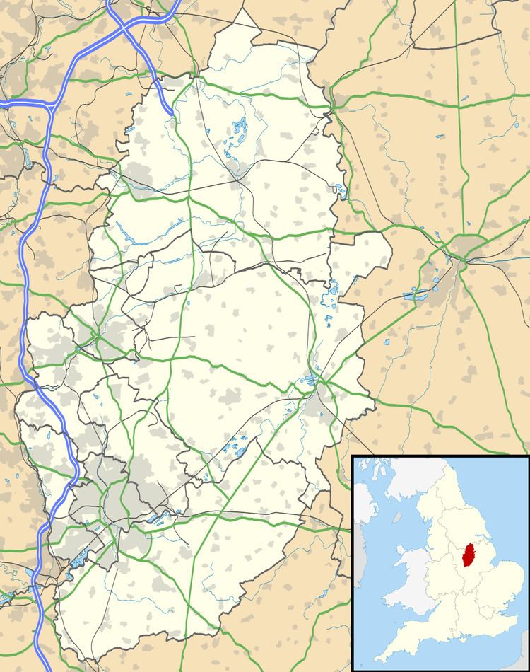
Map of Kingston on Soar, Nottingham, UK
The River Soar does not pass through the village, but very close by to the west. At this point the Soar, flowing south to north, forms the border with Leicestershire. The Kingston Brook drains west through the village. Nearby places are Kegworth in Leicestershire and, further downstream, Ratcliffe on Soar.
There is no railway station in the village, however East Midlands Parkway opened early in 2008 at nearby Ratcliffe on Soar providing links on the Midland Main Line.
The precursor to the Midland Agricultural and Dairy College (which became the University of Nottingham's Sutton Bonington Campus in the neighbouring parish of Sutton Bonington) was the Midland Dairy Institute and was located in the parish of Kingston on Soar. Stilton cheese was made along with other types at the Institute. Today, the University Farm, a 445 hectares (1,100 acres) commercial research farm, partly lies in the parish, including an associated high-technology dairy centre.
