
Elevation 131 m Local time Saturday 6:45 AM | Time zone IST (UTC+5:30) Population 7,235 (2001) | |
 | ||
Weather 21°C, Wind NW at 5 km/h, 56% Humidity | ||
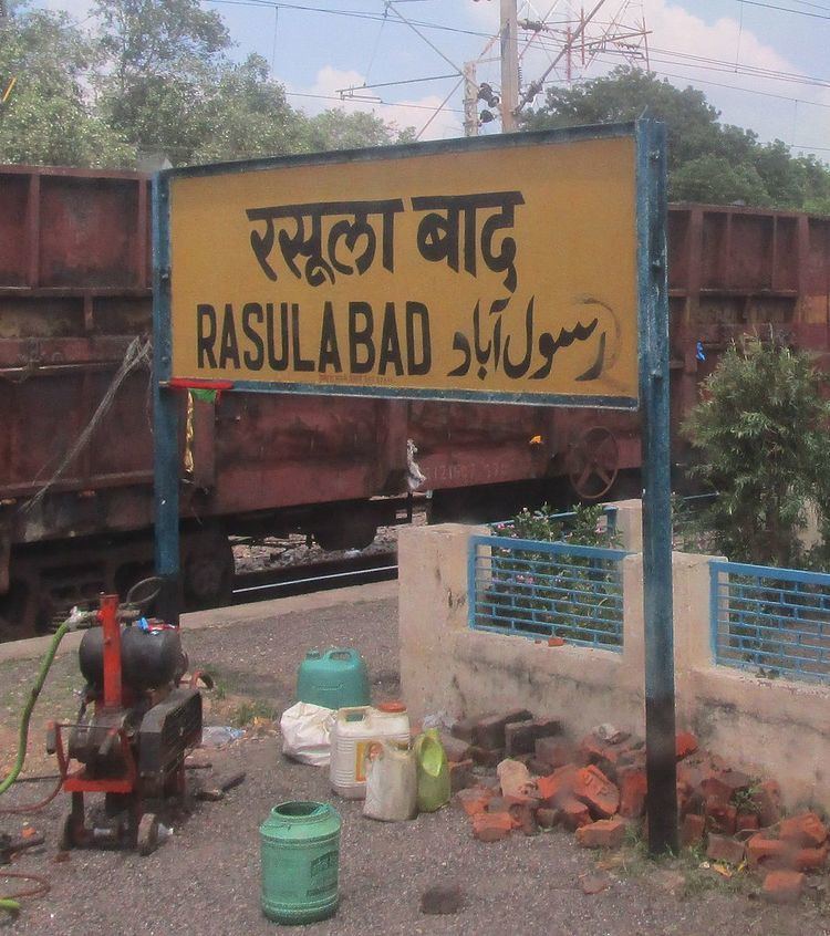
Rasulabad is a town and a nagar panchayat in Kanpur Dehat district in the Indian state of Uttar Pradesh.
Contents
Map of Rasulabad, Uttar Pradesh 209306
Geography
Rasulabad is located at 26.68°N 79.78°E / 26.68; 79.78. It has an average elevation of 131 metres (429 feet).
Demographics
As of 2001 India census, Rasulabad had a population of 7,235. Males constitute 53% of the population and females 47%. Rasulabad has an average literacy rate of 41%, lower than the national average of 59.5%: male literacy is 49%, and female literacy is 31%. In Rasulabad, 19% of the population is under 6 years of age.
References
Rasulabad Wikipedia(Text) CC BY-SA