
Country Estonia Area 243.3 km² Local time Friday 11:00 PM | Website www.rapla.ee Population 9,652 (1 Jan 2008) | |
 | ||
Weather -3°C, Wind SW at 8 km/h, 89% Humidity Points of interest | ||
Rapla Parish (Estonian: Rapla vald) is an Estonian municipality located in Rapla County. It has a population of 9,652 (as of 1 January 2008) and an area of 243.3 km².
Contents
Map of Rapla, Rapla County, Estonia
Settlements
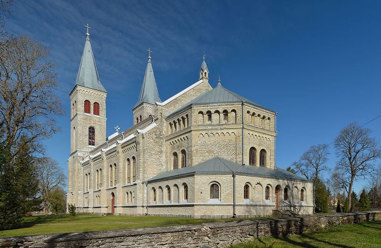
Rapla
Alu - Hagudi - Kuusiku
Äherdi - Alu-Metsküla - Aranküla - Hagudi - Iira - Juula - Kalevi - Kelba - Kodila - Kodila-Metsküla - Koigi - Kõrgu - Kuku - Kuusiku-Nõmme - Lipstu - Mahlamäe - Mällu - Mõisaaseme - Nõmme - Oela - Ohulepa - Oola - Palamulla - Purila - Raka - Ridaküla - Röa - Seli - Seli-Nurme - Sikeldi - Sulupere - Tapupere - Tõrma - Tuti - Ülejõe - Uusküla - Väljataguse - Valtu
References
Rapla Parish Wikipedia(Text) CC BY-SA