Country Bangladesh District Chittagong District Website Official Map of Raozan | Division Chittagong Division Time zone BST (UTC+6) Area 246.6 km² | |
 | ||
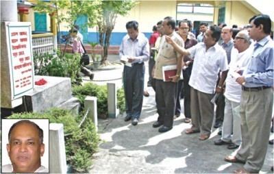
Raozan upazila digital fair and internet week 2015
Raozan (Bengali: রাউজান) is an Upazila of Chittagong District in the Division of Chittagong, Bangladesh. It was established in 1947.
Contents
- Raozan upazila digital fair and internet week 2015
- Geography
- Demographics
- Administration
- Notable residents
- References

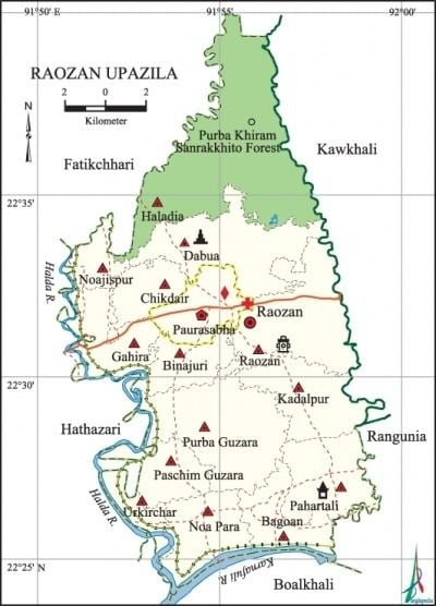
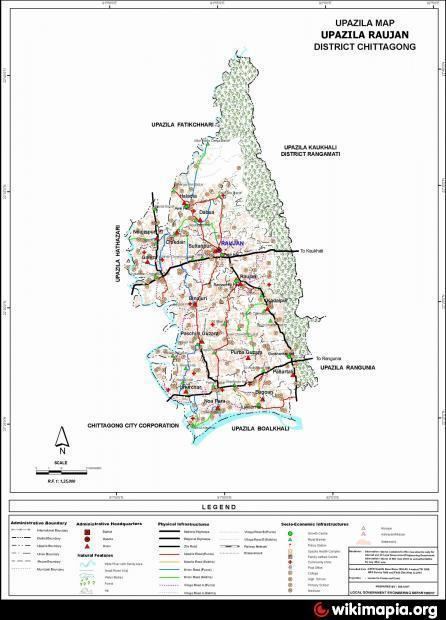
Geography
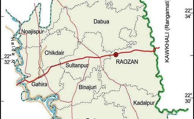
It has 45,775 households and a total area of 246.58 km². The two main rivers are Karnaphuli and Halda. Raozan is surrounded by Fatikchhari Upazila on the north, Boalkhali Upazila and karnafuli river on the south, Rangunia and Kawkhali(Rangamati) Upazilas on the east, and Hathazari and Fatikchhari Upazila on the west.
Demographics
According to the 1991 Bangladesh census, Raozan had a population of 274,344. Males constituted 50.58% of the population, while females constituted about 49.42% of the population. The average literacy rate is 52.5% (7+ years), above the national average of 32.4%.
Administration
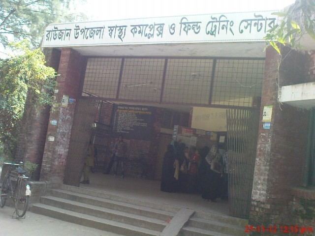
Raozan has 1 municipality, 15 Unions/Wards, 68 Mauzas/Mahallas, and 76 villages. It has a fire station and two health complexes.
Notable residents