
Country Population UTC+7 | Area 3,298 km² | |
 | ||
Map of Ranong
Ranong (Thai: ระนอง (Pronunciation)) is a town (thesaban mueang) in southern Thailand, former capital of the Ranong Province and the Mueang Ranong district. The town covers completely the area of the tambon Khao Niwet (เขานิเวศน์). As of 2005 it had a population of 16,163. Ranong lies 586 km south-south-west of Bangkok by road.
Contents
- Map of Ranong
- Buffalo bay vacation club ranong
- A new nok air destination sizzling and drizzling in charming ranong
- Geography
- Climate
- Transportation
- References
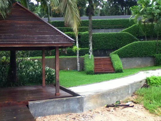
Buffalo bay vacation club ranong
A new nok air destination sizzling and drizzling in charming ranong
Geography
Ranong is on the estuary of the Pak Chan (or Kraburi) River, opposite Myanmar's Victoria Point. The Tenasserim Hills rise directly to the east of Ranong, and another small ridge runs along the edge of the estuary to the town's north.
Climate
Ranong has a tropical monsoon climate (Köppen climate classification Am). There is little variation in the temperature throughout the year, although the pre-monsoon months (February to April) are somewhat hotter in the day. However, Ranong's position to the west of the Tenasserim Hills means that the monsoon season's rains are greatly amplified, resulting in torrential rains from May until October, and significant rainfall in the transition months of April and November.
Transportation
Phetkasem Road (Thailand Route 4) runs through the city. Ranong Airport is about 24 kilometres (15 mi) south of town.
The Port Authority of Thailand operates the Port of Ranong, which is Thailand's principal Indian Ocean port. In 2008, the Ranong human-trafficking incident resulted in 54 deaths.