Country India Status Operational Type of dam Embankment, earth-fill Opened March 2001 Construction began 1981 | Opening date 2001 Height 160 m | |
 | ||
Owner Punjab State Power Corporation Limited Similar Mukteshwar Mahadev Temple, Shahpurkandi Fort, Ashapurni Mandir, Bhakra Dam, Pong Dam | ||
Ranjit sagar dam thein madhopur pathankot punjab india
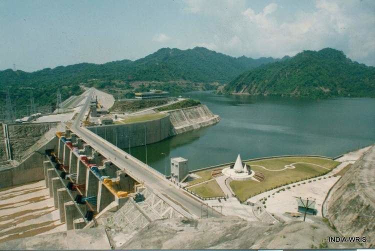
The Ranjit Sagar Dam, also known as the Thein Dam, is part of a hydroelectric project constructed by the Government of Punjab on the Ravi River in the state of Punjab. The project is situated near Pathankot city in Pathankot district of the state of Punjab. The project is the largest hydroelectric dam in the state of Punjab. The township where the site is located is called Shah pur Kandi Township. Feasibility studies for the project began in 1953 and geotechnical studies continued until 1980. Construction began in 1981, the generators were commissioned in 2000 and the project complete in March 2001.
Contents
- Ranjit sagar dam thein madhopur pathankot punjab india
- Map of Ranjit Sagar Dam Thara Uparla Punjab 145001
- Water level of ranjit sagar dam rises in punjab
- References
Map of Ranjit Sagar Dam, Thara Uparla, Punjab 145001
The project is used for both irrigation purposes and power generation. It has an 600 Megawatt capacity. The dam is one of the highest earth-fill dams in India and has the largest diameter penstock pipes in the country. It is located upstream of the Madhopur Barrage at Madhopur.
