
Vehicle registration TR Population 15,820 (2015) | Time zone IST (UTC+5:30) Website tripura.gov.in Local time Friday 9:42 PM | |
 | ||
Weather 26°C, Wind E at 0 km/h, 78% Humidity | ||
Ranirbazar is a town and a nagar panchayat in West Tripura [1] district in the Indian state of Tripura.
Contents
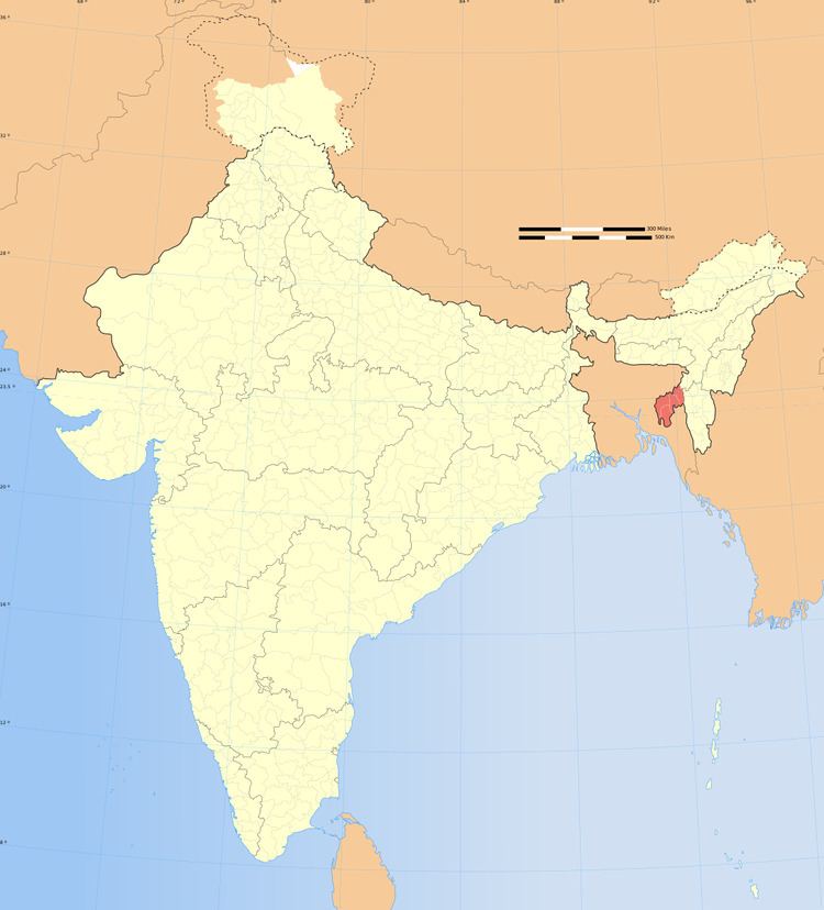
Map of Ranirbazar, Tripura
Overview
The town of Ranirbazar has many amenities like town hall, BSNL [2] cell tower, schools, market, motorstand, petro-pump and so on and early are tripura government declr Ranir bazar municipal council area.
Demographics
As of 2001 India census, Ranirbazar had a population of 11,003. Males constitute 51% of the population and females 49%. Ranirbazar has an average literacy rate of 77%, higher than the national average of 59.5%: male literacy is 82%, and female literacy is 72%. In Ranirbazar, 10% of the population is under 6 years of age.
Location
Ranirbazar is located on the National Highway 44 (Assam-Agartala highway) on the banks of river Haora. It is half an hour distance from Agartala by vehicle. Nearby towns are Khayerpur and Jirania.