
Country District Barddhaman | ||
 | ||
Languages spoken | ||
Map of Jamuria
Jamuria is the North-Eastern neighbourhood in Asansol, in Asansol Sadar subdivision of Paschim Bardhaman district in the Indian state of West Bengal.
Contents
- Map of Jamuria
- jamuria 02 eibangla
- Bjp and tmc workers clash at jamuria west bengal
- Geography
- Asansol Municipal Corporation
- Police station
- Demographics
- Economy
- Transport
- Education
- References
jamuria 02 eibangla
Bjp and tmc workers clash at jamuria west bengal
Geography
Jamuria is located at 23.7°N 87.08°E / 23.7; 87.08. It has an average elevation of 111 metres (364 feet).
Asansol is composed of undulating latterite region. This area lies between two rivers – the Damodar and the Ajay. They flow almost parallel to each other in the region – the average distance between the two rivers is around 30 km. For ages the area was heavily forested and infested with plunderers and marauders. The discovery of coal led to industrialisation of the area and most of the forests have been cleared.
In recent times various small and medium industries have been set up in and around the town which mainly includes small iron and cement industries.
Singaran, a small stream about 35 km long has its origin near Ikra in the Jamuria area, flows past Topsi and Andal and joins the Damodar near Waria.
Gram panchayats under Jamuria Panchayat Samiti are: Churulia, Madantore, Hijolgora, Chinchuria, Shyamla, Bahadurpur, Dobrana, Kenda, Parasia and Topsi.
Asansol Municipal Corporation
According to the Kolkata Gazette notification of 3 June 2015, the municipal areas of Kulti, Raniganj and Jamuria were included within the jurisdiction of Asansol Municipal Corporation.
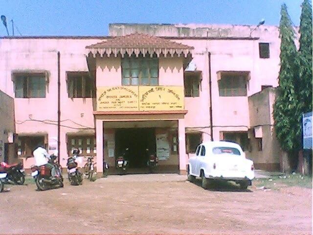
Police station
Jamuria police station has jurisdiction over Jamuria CD Block and parts of Asansol municipal corporation. The area covered is 96 km2 and the population covered is 310,000.
Demographics
As per the 2011 Census of India Jamuria municipal area plus outgrowth had a total population of 149,220, of which 77,379 (52%) were males and 71,841 (48%) were females. Population below 6 years was 19,526. The total number of literates in Jamuria was 92,930 (86.91% of the population over 6 years).
As of 2001 India census, Jamuria had a population of 129,456. Males constitute 53% of the population and females 47%. Jamuria has an average literacy rate of 58%, lower than the national average of 59.5%: male literacy is 67%, and female literacy is 47%. In Jamuria, 14% of the population is under 6 years of age.
Economy
It is in the heart of the coal mining zone. With plenty of coal seams near the surface, illegal mining has been a long-standing problem in the area. In recent times, various small industries have mushroomed which have provided employment to local unskilled people. There are four notable banks operating in the area with Axis Bank,State Bank of India, Bank of India and HDFC Bank catering to most of the local people.
Transport
There is a rail track: Andal-Sonachara-Tapasi-Ikra-Jamuria-Barabani-Chinchuria-Sitarampur,(See Andal-Sainthia Branch Line for route map details).
The only other public transport are the buses that runs in Jamuria-Raniganj route, Jamuria-Asansol route and the Jamuria-Haripur route.
There is also a regular bus service to Kolkata, capital city of West Bengal every morning and return bus from Kolkata in the evening.
Education
Jamuria has forty-nine primary, one upper primary, nine secondary and three higher secondary schools.