
Area 546.5 km² | Time zone BST (UTC+6) | |
 | ||
Website Official Map of Rangamati Sadar | ||
Rangamati Sadar (Bengali: রাঙামাটি সদর) is an Upazila of Rangamati District in the Division of Chittagong, Bangladesh.
Contents
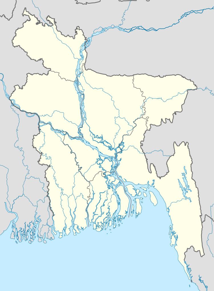
Map of Rangamati Sadar Upazila, Bangladesh
Geography
Rangamati Sadar is located at 22.6500°N 92.1833°E / 22.6500; 92.1833 . It has 13814 households and total area 546.49 km².
Demographics
As of the 1991 Bangladesh census, Rangamati Sadar has a population of 76732. Males constitute 55.79% of the population, and females 44.21%. This Upazila's eighteen up population is 39894. Rangamati Sadar has an average literacy rate of 48.4% (7+ years), and the national average of 32.4% literate.
Administration
Rangamati Sadar has 6 Unions/Wards(Banduk Bhanga Union, Balukhali Union, Jibtali Union, Kutuk Chhari Union, Magban Union, Sapchhari Union), 47 Mauzas/Mahallas, and 171 villages.
Education
According to Banglapedia, Rangamati Government High School, founded in 1862, and Lakers Public School are notable secondary schools.