
PIN 247769 Population 1,535 (2010) | Time zone IST (UTC+5:30) Telephone code 91-132 ISO 3166 code ISO 3166-2:IN | |
 | ||
choli rangail re daiya ashish diwedi bhojpuri holi song 2017
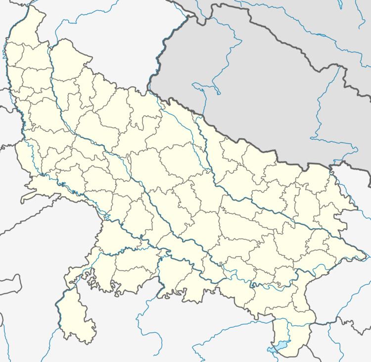
Rangail is a village in the Saharanpur district in Uttar Pradesh, India. It is situated about 16 km away from Saharanpur proper at the border to Haryana. The population includes many communities e.g. Tyagi, Kashyap, Pal, Vishvakarma, Harijan, Salmani, Telli, Jhojje And Shekh. In this village, the main occupation is farming and Government Service. There are many villages near Rangail. These are Sunehati kharkhari, Roopri, Feraheri, Kolkie, Pathed, Hariyabas, Itava, khajoori etc.
Contents
- choli rangail re daiya ashish diwedi bhojpuri holi song 2017
- Azamgarh chouk pe choli rangail
- References
Azamgarh chouk pe choli rangail
References
Rangail Wikipedia(Text) CC BY-SA