
Canton Dampierre Time zone CET (UTC+1) Local time Friday 1:03 PM | Population (2012) 480 Area 6.91 km² | |
 | ||
Region Bourgogne-Franche-Comté Weather 12°C, Wind N at 13 km/h, 78% Humidity | ||
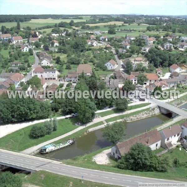
Ranchot is a commune in the Jura department in the Franche-Comté region in eastern France.
Contents
Map of 39700 Ranchot, France
Geography
Ranchot is a small Jura village on the Doubs river. It is situated on the D673 (previously Route nationale 73) between Dole and Besançon, 5 km from the A36 autoroute junction 2.1.
History
There is evidence of Gallo-Roman occupation (Roman roads in certain fields in the commune). In the 13th century, Ranchot was made a dependendence of Rans. The village was devastated by wars and plague in the 16th and 17th centuries.
References
Ranchot Wikipedia(Text) CC BY-SA