
Country India Telephone/STD code 03454 Elevation 16 m Area code 03454 | Time zone IST (UTC+5:30) Area 123 km² Population 232,282 (2011) | |
 | ||
PIN 741255 (Anulia)741403 (Habibpur) | ||
Ranaghat I is a community development block that forms an administrative division in Ranaghat subdivision of Nadia district in the Indian state of West Bengal. Ranaghat police station serves this block. Headquarters of this block is at Habibpur. It is located 22 km from Krishnanagar, the district headquarters.
Contents
Location
Habibpur is located at 23°12′30″N 88°31′45″E.
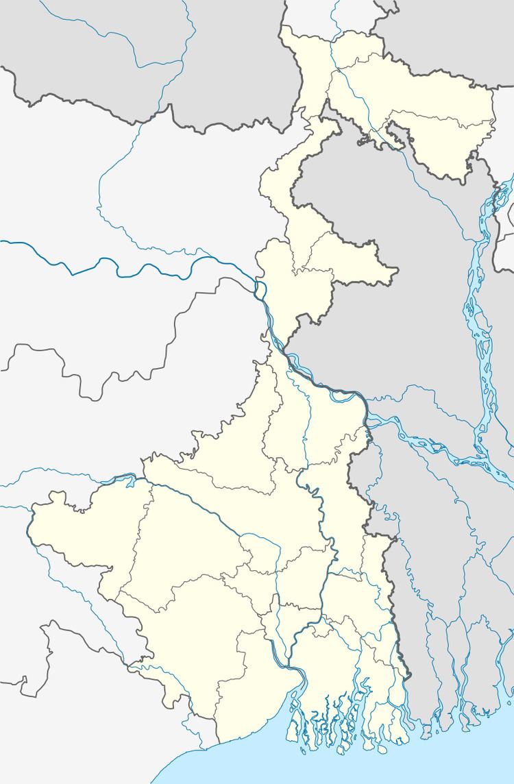
Ranaghat I CD Block is bounded by Hanskhali CD Block in the north, Ranaghat II CD Block in the east, Chakdaha CD Block in the south and Santipur CD Block and Balagarh CD Block in Hooghly district across the Hooghly River in the west.
Area
Ranaghat I CD Block has an area of 122.99 km2.
Physical features
Nadia district is mostly alluvial plains lying to the east of Hooghly River, locally known as Bhagirathi. The alluvial plains are cut across by such distributaries as Jalangi, Churni and Ichhamati. With these rivers getting silted up, floods are a recurring feature.
Gram panchayats
Gram panchayats of Ranaghat I block/ panchayat samiti are: Anulia, Habibpur, Barasat, Kalinarayanpur, Paharpur, Khisma, Nawpara Masunda, Payradanga, Ramnagar I, Ramnagar II and Tarapur.
Demographics
As per 2011 Census of India Ranaghat I CD Block had a total population of 232,282, of which 120,847 were rural and 111,435 were urban. There were 119,444 (51%) males and 112,838 (49%) females. The population below 6 years of age was 21,717. Scheduled Castes numbered 84,911 and Scheduled Tribes numbered 4,438.
As per 2001 census, Ranaghat I block had a total population 207,320, out of which 106,134 were males and 101,186 were females. Ranaghat I block registered a population growth of 13.28 per cent during the 1991-2001 decade. Decadal growth for the district was 19.51 per cent. Decadal growth in West Bengal was 17.84 per cent.
Census towns, outgrowths and large villages
There are several census towns in Ranaghat I CD Block (2011 census figures in brackets) : Gangni (5,532), Kamgachhi (19,998), Raghabpur (10.280), Panpara (5,349), Aistala (20,662), Satigachha (9,847), Anulia (5,220), Gopalpur (7,818) and Parbbatipur (9,584).
Outgrowths in Ranaghat I CD Block (2011 census figures in brackets): Taherpur (Ward No. 14) (3,095), Barasat (Ward No, 15) (6,770), Bhaduri (Ward No. 16)(4,558) and Mahisdanga (Ward No. 17) (2,722).
Large villages in Ranaghat I CD Block (2011 census figures in brackets): Krishnapur Chak (4,493), Birnagar (P) (7,513), Habibpur (13,310), Paschim Noapara (5,030), Ukhil Nara (6,572) and Sundalpur Char (4,642).
Literacy
As per 2011 census the total number of literates in Ranaghat I CD Block was 163,429 (77.61 % of the population over 6 years) out of which 88,861 (54%) were males and 74,568 (46%) were females.
As per 2011 census, literacy in Nadia district was 74.97. Literacy in West Bengal was 77.08% in 2011. Literacy in India in 2011 was 74.04%.
Language
Bengali is the local language in these areas.