
Population 20,060 (2001) | Time zone IST (UTC+5:30) Vehicle registration WB Local time Saturday 11:31 AM | |
 | ||
Weather 34°C, Wind SW at 18 km/h, 41% Humidity Neighborhoods Ward Number 6, Ward Number 11, Puratanpara, D Block | ||
Taherpur is a city and a notified area under Taherpur police station in Nadia district in the Indian state of West Bengal.
Contents
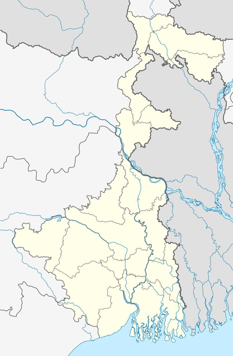
Map of Taherpur, West Bengal
Geography
Nadia district is mostly alluvial plains lying to the east of Hooghly River, locally known as Bhagirathi. The alluvial plains are cut across by such distributaries as Jalangi, Churni and Ichhamati. With these rivers getting silted up, floods are a recurring feature.
Demographics
As of 2001 India census, Taherpur had a population of 20,060. Males constitute 51% of the population and females 49%. Taherpur has an average literacy rate of 80%, higher than the national average of 59.5%: male literacy is 84%, and female literacy is 76%. In Taherpur, 9% of the population is under 6 years of age.
Places to See
Old & New Church at Christian Para, Picnic Garden in E Block, Dashami Mela at Thaerpur Netaji high school ground, All Bengal Cricket Tournament organised by Netaji Subhas Sangha, All Bengal Night Football Tournament By Tarun Shangha.