
Country United States Platted 1887 Elevation 433 m Zip code 67475 Local time Friday 1:25 AM | Incorporated 1909 Area 80 ha Population 175 (2013) Area code 785 | |
 | ||
Weather 21°C, Wind S at 31 km/h, 47% Humidity | ||
Ramona is a city in Marion County, Kansas, United States. As of the 2010 census, the city population was 187.
Contents
- Map of Ramona KS 67475 USA
- Early history
- 19th century
- 21st century
- Geography
- Area events
- 2010 census
- 2000 census
- Government
- Primary and secondary education
- Transportation
- Utilities
- Notable people
- References
Map of Ramona, KS 67475, USA
Early history
For many millennia, the Great Plains of North America was inhabited by nomadic Native Americans. From the 16th century to 18th century, the Kingdom of France claimed ownership of large parts of North America. In 1762, after the French and Indian War, France secretly ceded New France to Spain, per the Treaty of Fontainebleau.
19th century
In 1802, Spain returned most of the land to France. In 1803, most of the land for modern day Kansas was acquired by the United States from France as part of the 828,000 square mile Louisiana Purchase for 2.83 cents per acre.
In 1854, the Kansas Territory was organized, then in 1861 Kansas became the 34th U.S. state. In 1855, Marion County was established within the Kansas Territory, which included the land for modern day Ramona.
The city name Ramona is a Spanish name. Land ownership of the Ramona area dates back when the area belonged to Spain. Manuel De Lisa, a New Orleans merchant, petitioned his government for a large land grant in the Ramona area on July 16, 1799.
In 1887, the Chicago, Kansas and Nebraska Railway built a main line from Herington through Ramona to Pratt. In 1888, this line was extended to Liberal. Later, it was extended to Tucumcari, New Mexico and El Paso, Texas. It foreclosed in 1891 and taken over by Chicago, Rock Island and Pacific Railway, which shut down in 1980 and reorganized as Oklahoma, Kansas and Texas Railroad, merged in 1988 with Missouri Pacific Railroad, and finally merged in 1997 with Union Pacific Railroad. Most locals still refer to this railroad as the "Rock Island".
A post office was established in Ramona on August 9, 1887.
21st century
In 2010, the Keystone-Cushing Pipeline (Phase II) was constructed near Ramona, north to south through Marion County, with much controversy over road damage, tax exemption, and environmental concerns (if a leak ever occurs).
Geography
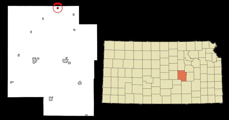
Ramona is located at 38°35′51″N 97°3′46″W (38.597448, -97.062864). According to the United States Census Bureau, the city has a total area of 0.31 square miles (0.80 km2), all of it land. The county line is 0.5 miles north of Ramona.
Area events
2010 census
As of the census of 2010, there were 187 people, 66 households, and 45 families residing in the city. The population density was 603.2 inhabitants per square mile (232.9/km2). There were 90 housing units at an average density of 290.3 per square mile (112.1/km2). The racial makeup of the city was 93.0% White, 2.1% Native American, and 4.8% from two or more races. Hispanic or Latino of any race were 1.6% of the population.
There were 66 households of which 36.4% had children under the age of 18 living with them, 47.0% were married couples living together, 9.1% had a female householder with no husband present, 12.1% had a male householder with no wife present, and 31.8% were non-families. 19.7% of all households were made up of individuals and 7.5% had someone living alone who was 65 years of age or older. The average household size was 2.83 and the average family size was 3.36.
The median age in the city was 33.5 years. 35.3% of residents were under the age of 18; 2.2% were between the ages of 18 and 24; 21.9% were from 25 to 44; 27.8% were from 45 to 64; and 12.8% were 65 years of age or older. The gender makeup of the city was 54.5% male and 45.5% female.
2000 census
As of the census of 2000, there were 94 people, 40 households, and 27 families residing in the city. The population density was 318.5 people per square mile (121.0/km²). There were 57 housing units at an average density of 193.1 per square mile (73.4/km²). The racial makeup of the city was 95.74% White, 4.26% from other races. Hispanic or Latino of any race were 6.38% of the population.
There were 40 households out of which 20.0% had children under the age of 18 living with them, 42.5% were married couples living together, 12.5% had a female householder with no husband present, and 32.5% were non-families. 25.0% of all households were made up of individuals and 20.0% had someone living alone who was 65 years of age or older. The average household size was 2.35 and the average family size was 2.74.
In the city, the population was spread out with 25.5% under the age of 18, 6.4% from 18 to 24, 24.5% from 25 to 44, 14.9% from 45 to 64, and 28.7% who were 65 years of age or older. The median age was 40 years. For every 100 females there were 104.3 males. For every 100 females age 18 and over, there were 112.1 males.
As of 2000 the median income for a household in the city was $26,458, and the median income for a family was $33,125. Males had a median income of $28,750 versus $26,875 for females. The per capita income for the city was $17,345. None of the population and none of the families were below the poverty line.
Government
The Ramona government consists of a mayor and five council members. The council meets the 2nd and last Monday of each month at 7PM.
Primary and secondary education
Ramona is part of Unified School District 397. The high school is a member of T.E.E.N., a shared video teaching network between five area high schools. All students attend schools in Lost Springs area.
Transportation
Ramona is served by the Union Pacific Railroad, formerly the Southern Pacific, and prior, the Chicago, Rock Island and Pacific Railroad. Ramona is located on UP's Golden State main line to El Paso, Texas, and has a rail siding for train meets before entering UP's Herington, Kansas Yard. The line was originally built by the Chicago, Kansas and Nebraska Railroad.