
Lok Sabha constituency Arambagh Elevation 11 m Local time Friday 11:01 AM | Time zone IST (UTC+5:30) Vidhan Sabha constituency Chandrakona Population 24,453 (2011) | |
 | ||
Weather 32°C, Wind SW at 6 km/h, 51% Humidity | ||
Ramjibanpur is a town and a municipality in Paschim Medinipur district in the Indian state of West Bengal.
Contents
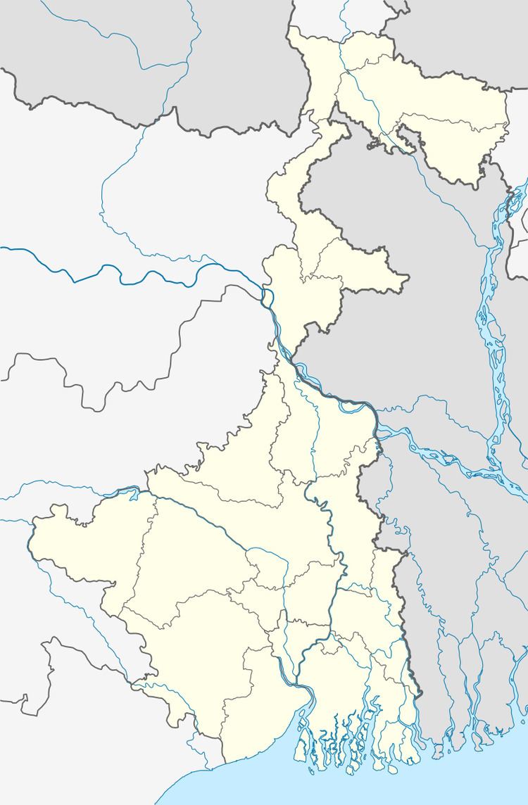
Map of Ramjibanpur, West Bengal
Geography
Ramjibanpur is located at 22.83°N 87.62°E / 22.83; 87.62. It has an average elevation of 11 metres (36 feet).
Demographics
As of 2001 India census, Ramjibanpur had a population of 17,363. Males constitute 51% of the population and females 49%. Ramjibanpur has an average literacy rate of 72%, higher than the national average of 59.5%: male literacy is 78%, and female literacy is 66%. In Ramjibanpur, 14% of the population is under 6 years of age.
References
Ramjibanpur Wikipedia(Text) CC BY-SA