
Area 570.6 km² | Time zone BST (UTC+6) | |
 | ||
Website Official Map of Ramgati | ||
Ramgati (Bengali: রামগতি) is an Upazila of Lakshmipur District in the Division of Chittagong, Bangladesh.
Contents
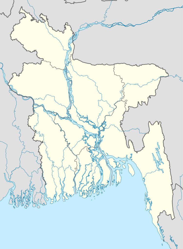
Map of Ramgati Upazila, Bangladesh
Geography
Ramgati is located at 22.6056°N 90.9972°E / 22.6056; 90.9972 . It has 59,387 households and a total area of 570 .55 km².
Demographics
According to the 1991 Bangladesh census, Ramgati had a population of 335,243. Males constituted 51.57% of the population, and females 48.43%. The population aged 18 or over was 146,035. Ramgati had an average literacy rate of 19.9% (7+ years), against the national average of 32.4%.
Administration
Ramgati has 1 municipality, 9 Unions/Wards, 57 Mauzas/Mahallas, and 69 villages.
References
Ramgati Upazila Wikipedia(Text) CC BY-SA