
Area 169.3 km² | Time zone BST (UTC+6) Population 342,027 (2011) | |
 | ||
Website | ||
Ramganj (Bengali: রামগঞ্জ) is an Upazila of Lakshmipur District in the Division of Chittagong, Bangladesh.
Contents
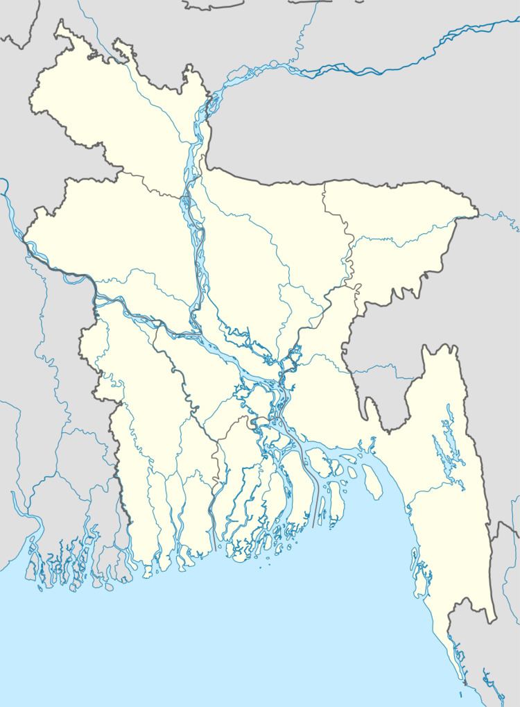
Map of Ramganj Upazila, Bangladesh
The Ramganj Upazila area is located at 2301 and 2311 and 90.48 north latitude and 90.58 east longitude. It was established in 1891 and 4/07/1983 AD. Sadar Upazila is located on South, , Hajiganj & Shaharasti North and Chatkhil East and Raipur Faridganj West.
Geography
Ramganj is located at 23.1056°N 90.8750°E / 23.1056; 90.8750.
Demographics
According to the 2011 Bangladesh census, Ramganj had a population of 342027. Males constituted 47.98% of the population, and females 52.02%. Of the total population, only 171270 people are over the age of 18, meaning that more than 52.6% of the population is younger than 18. Ramganj has an average literacy rate of 45%, 12.6 percentage points above the national average of 32.4%.
Administration
Ramganj has 10 Unions, 1 municipality, 152 Mauzas/Mahallas, and 126 villages.