
District Ahmadnagar PIN 414306 Area code 02488 ISO 3166 code ISO 3166-2:IN | Time zone IST (UTC+5:30) Telephone code 02488 | |
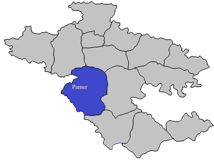 | ||
Ralegan Therpalis a village in Parner taluka in Ahmednagar district of state of Maharashtra, India. The village is about 12 km from Shirur.
Contents
Map of Ralegan Therpal, Maharashtra 414306
This village is known for the Karkhile's. This village is generally misunderstood with the Ralegan siddhi. Both the villages are located in parner taluka.
Religion
The majority of the population in the village is Hindu.There are various famous temples in the village. Hanuman mandir, Shiva temple and Biroba temple are few of them.
Economy
The majority of the population has farming as their primary occupation.Major crops are Sugar cane, Bajara, Onion, Wheat. Horticulture crops like pomegranate, oranges, sweet oranges, Banana, vegetables and various kinds of flowers are becoming popular nowadays.
Education
There is Zhila Parisad primary school(Marathi Shala) up to 7th standard in the village.Secondary education is available in secondary highschool up to 10th standard. For further education students have to commute to nearby town mainly Shirur.