
- summer (DST) CEST (UTC+2) Area 6.341 km² | Elevation 676 m | |
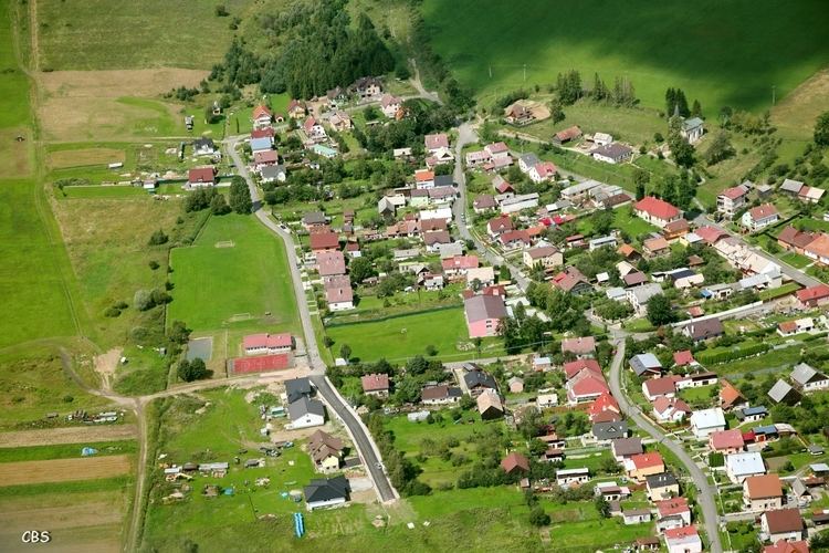 | ||
Rakúsy is a village and municipality in Kežmarok District in the Prešov Region of north Slovakia.
Contents
Map of 059 76 Rak%C3%BAsy, Slovakia
History
In historical records the village was first mentioned in 1288.
Geography
The municipality lies at an altitude of 704 metres and covers an area of 6.341 km². It has a population of about 2700 people.
Demographics
According to 2010 census total population had been 2764. In the village is sizeable Roma nationality, which had been claimed by 1668 inhabitants, which is ca. 60% of the total population. In 2010 there had been 1443 males and 1321 females.
Economy and infrastructure
In the village is football pitch, public library, elementary school, foodstuff store and a pub. Cultural sightseeings are evangelical and Roman Catholic churches and a manor house.
References
Rakúsy Wikipedia(Text) CC BY-SA