
District Sahibganj Vehicle registration JH Local time Friday 3:24 AM | Time zone IST (UTC+5:30) Population 17,974 (2001) | |
 | ||
Weather 23°C, Wind E at 5 km/h, 83% Humidity | ||
About rajmahal jharkhand
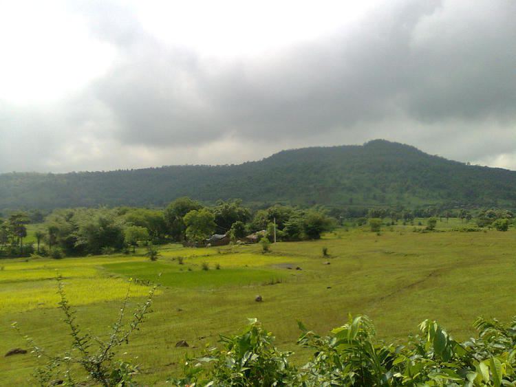
Rajmahal is a city and a notified area in Sahibganj district in the Indian state of Jharkhand. Rajmahal is the only sub-divisional town in Sahibganj district.
Contents
- About rajmahal jharkhand
- Map of Rajmahal Jharkhand 816108
- History
- Demographics
- Assembly segments
- Members of Parliament
- References
Map of Rajmahal, Jharkhand 816108
History
Neel-kothi is a historical place and it is located at the heart of the city of Rajmahal. It was built by Englishman on 24th September 1796 to process Neel (Indigo) used for dying cotton cloth; Then British government was ruling Rajmahal.It is an historic town situated on the west bank of the Ganges, and located in the hills known as Damin-i-koh during the Muslim rule. The hills run north-south for 193 km from Sahebganj to Rampurhat. The earlier name of the place was Agmahal. Man Singh, on his return from the conquest of Orissa in 1592, named it Rajmahal. On 9 November, 1595, Man Singh laid the foundations of a new capital of Bengal Subah there and named it Akbarnagar, after Akbar, the emperor.
Demographics
As of 2001 India census, Rajmahal had a population of 17,974. Males constitute 52% of the population and females 48%. Rajmahal has an average literacy rate of 48%, lower than the national average of 59.5%: male literacy is 55%, and female literacy is 39%. In Rajmahal, 19% of the population is under 6 years of age.
Assembly segments
Presently, Rajmahal Lok Sabha constituency comprises the following six Vidhan Sabha (legislative assembly) segments: