
ZIP code(s) 410505 Elevation 645 m Local time Friday 2:46 AM | Time zone IST (UTC+5:30) Area code(s) +91-2135 Population 25,146 (2011) | |
 | ||
Weather 25°C, Wind NW at 6 km/h, 46% Humidity | ||
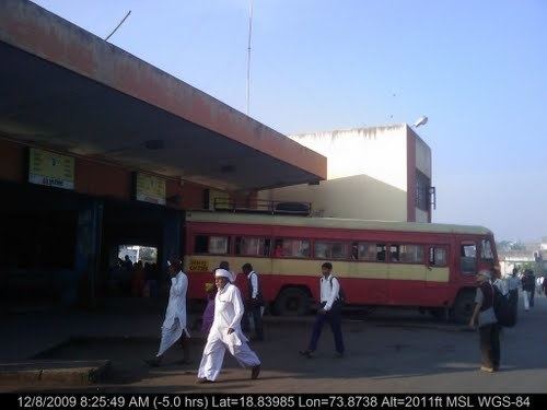
Rajgurunagar (Khed) is a census town and headquarters of Khed taluka in Pune district in the Indian state of Maharashtra.
Contents
- Map of Rajgurunagar Maharashtra 410505
- Etymology
- Demographics
- Tourism
- Development
- Schools
- Economy
- References
Map of Rajgurunagar, Maharashtra 410505
Etymology
Rajgurunagar (Khed) is named after iconic Indian freedom fighter Shivaram Rajguru. Khed is birthplace of Shivram Rajguru.
Demographics
Tourism
There are several temples in Rajgurunagar. Siddheshwar Temple is the one of the old temples, other temples include Kedareshwar Temple, Vishnu Temple (Chandiram Maharaj Math), Hanuman Temple, Shani Maharaj Temple and Chimanya Ganapati Temple.Shingeshwar temple near Kude budruk Village. Shingeshwar mountain highest in Pune & number 2 after Kalsubai mountain.
Development
Shiroli Chandus village, 6 kilometres (3.7 mi) north of Chakan and very near to Rajgurunagar, has been identified as a probable site for the proposed New Pune International airport.
Schools
Economy
Bharat Forge's Special Economic Zone (SEZ) named as Khedcity is the biggest SEZ in Pune spread over 1,000 hectares (4200Acre) of notified land in Khed taluka.
MARS International India Pvt.Ltd., the global manufacturer of chocolates, snack foods and pet foods acquired a large parcel of land in KhedCity (Bharat Forge's SEZ). The Company will set up its first manufacturing facility in India here with investment of Rs 1,005 crore (over $160 million).
Chakan MIDC is situated 20 km from Khedcity.