Area rank 7 Elevation 11 m Local time Friday 2:19 AM Area code 08648 | Mandal Cherukupalli Time zone IST (UTC+5:30) Area 6.72 km² Population 3,755 (2011) | |
 | ||
Weather 27°C, Wind S at 8 km/h, 84% Humidity | ||
Rajavolu is a revenue village and gram panchayat in Guntur district of the Indian state Andhra Pradesh. It is located in Cherukupalli mandal of Tenali revenue division. The village is located 8 km from Mandal headquarters and 60 km east to district headquarters Guntur. The nearest town Repalle is 22 km away.
Contents
- Map of Rajavolu Andhra Pradesh
- Demographics
- Transport
- Educational Institutions
- Amenities
- Government and politics
- References
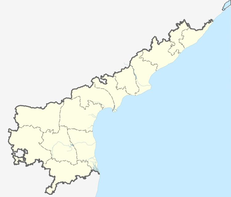
Map of Rajavolu, Andhra Pradesh
Total geographical area of Rajavolu village is 6.72 km2 and it is the 4th smallest village by area as well as in population in the mandal. Padamatipalem, Rajavolu, Turuppalem are villages under this panchayat.
Demographics
The village is home to 3,755 people with 1,161 households. The population consists of 6% schedule castes and 1% schedule tribes. It has healthy sex ratio of 1016 females per 1000 male in the village. The population of this village increased by 0.8% between 2001-11.
Transport
By Rail
Bhattiprolu Railway Station (7 km) is the nearest railway station to Rajavolu. However Guntur Jn Railway Station is major railway station 60 km near to Rajavolu.
By Bus
Cherukupalli, Battiprolu, Nagaram are the nearby by APSRTC focal points from which frequent buses are available. APSRTC runs few buses to major cities through this village.
Autos ply frequently between Cherukupalli-Rajavolu, Rajavolu-Bhaatiprolu and Rajavolu-Nagaram
Educational Institutions
Amenities
Government and politics
Rajavolu gram panchayat is the local self-government of the village. The panchayat has a total of 12 wards and each ward is represented by an elected ward member. The ward members are headed by a sarpanch and the present sarpanch is T.S.V.Rama Rao.
Rajavolu elects 1 MPTC member to Cherukupalli mandal parishad. The details are as follows.
