
Area 145 km² | Time zone BST (UTC+6) Population 17,198 (1991) | |
 | ||
Website Official Map of Rajasthali | ||
Rajasthali (Bengali: রাজস্থলী) is an Upazila of Rangamati District in the Division of Chittagong, Bangladesh.
Contents
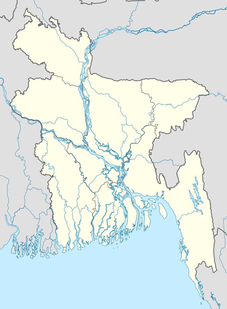
Map of Rajasthali Upazila, Bangladesh
Geography
Rajasthali is located at 22.3833°N 92.2417°E / 22.3833; 92.2417 . It has 3353 households and total area 145.04 km².
Demographics
As of the 1991 Bangladesh census, Rajasthali has a population of 17198. Males constitute 53.84% of the population, and females 46.16%. This Upazila's eighteen up population is 9278. Rajasthali has an average literacy rate of 25.7% (7+ years), and the national average of 32.4% literate.
Administration
Rajasthali has 3 Unions/Wards, 10 Mauzas/Mahallas, and 89 villages.
References
Rajasthali Upazila Wikipedia(Text) CC BY-SA