
- right Úhlava - elevation 869 m (2,851 ft) - average 11 m/s (388 cu ft/s) Basin area 2,182 km² | - location Český les - location Plzeň Length 112 km Source Bohemian Forest | |
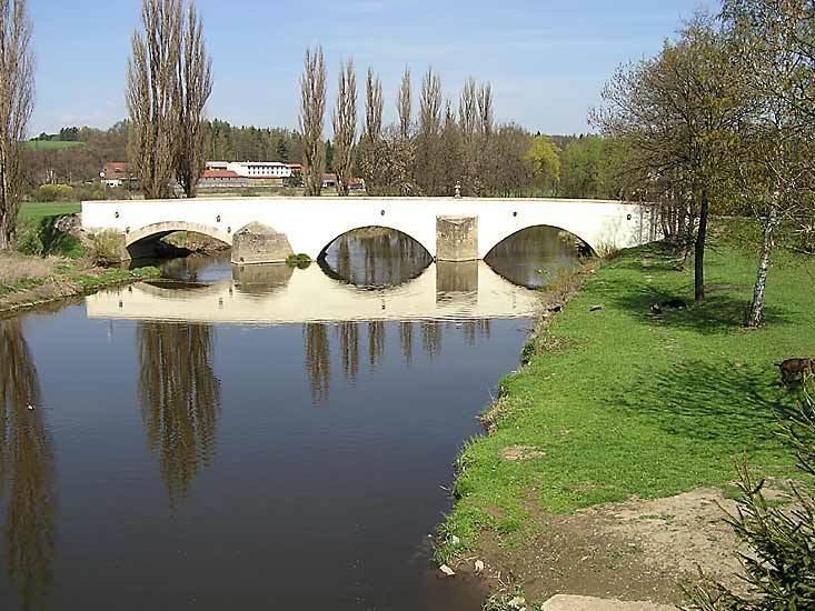 | ||
The Radbuza ( [ˈradbuza]; German: Radbusa) is a 112 km long river in the Czech Republic, the right tributary of the Mže. Its source is situated at the foot of Lysá mountain (869 metres) near the village of Závist, near Domažlice. It passes through the villages and towns of Rybník, Smolov, Bělá nad Radbuzou, Horšovský Týn, Staňkov, Holýšov, Stod, Chotěšov, Zbůch and Dobřany before joining the Mže in Plzeň, and as the Berounka eventually reaching the Vltava at Prague.
Map of Radbuza, Czechia
Its major tributaries are the Zubřina, Merklinka and Úhlava. The basin area of the Radbuza is 2,182 km².
References
Radbuza Wikipedia(Text) CC BY-SA