
Car plates SRC | Area 544 km² | |
 | ||
Gminas Total 8 (incl. 1 urban)RacibórzGmina KornowacGmina KrzanowiceGmina KrzyżanowiceGmina Kuźnia RaciborskaGmina NędzaGmina Pietrowice WielkieGmina Rudnik Points of interest H2Ostróg, Kloster Rauden, Park im Miasta Roth w R, Arboretum Bramy Morawskiej, Muzeum w Raciborzu | ||
Racibórz County (Polish: powiat raciborski) is a unit of territorial administration and local government (powiat) in Silesian Voivodeship, southern Poland, on the Czech border. It came into being on January 1, 1999, as a result of the Polish local government reforms passed in 1998. Its administrative seat and largest town is Racibórz, which lies 58 kilometres (36 mi) west of the regional capital Katowice. The county also contains the towns of Kuźnia Raciborska, lying 16 km (10 mi) north of Racibórz, and Krzanowice, 11 km (7 mi) south-west of Racibórz.
Contents
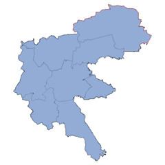
Map of Racib%C3%B3rz County, Poland
The county covers an area of 543.98 square kilometres (210.0 sq mi). As of 2006 its total population is 111,505, out of which the population of Racibórz is 57,352, that of Kuźnia Raciborska is 5,517, that of Krzanowice is 2,207, and the rural population is 46,429.
Neighbouring counties
Racibórz County is bordered by Głubczyce County to the west, Kędzierzyn-Koźle County to the north, Gliwice County to the north-east, and the city of Rybnik, Rybnik County and Wodzisław County to the east. It also borders the Czech Republic to the south.
Administrative division
The county is subdivided into eight gminas (one urban, two urban-rural and five rural). These are listed in the following table, in descending order of population.