
Population 8,684 (2011) | Postcode(s) 4305 Postal code 4305 | |
 | ||
State electorate(s) Electoral district of Ipswich | ||
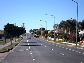
Raceview is a suburb of Ipswich, Queensland, Australia. At the 2011 Australian Census the suburb recorded a population of 8,685. The Cunningham Highway passes through the east of Raceview.
Contents
Map of Raceview QLD 4305, Australia
The origin of the suburb name is from an early racecourse in the area which was located at the end of Grange Road.
Education
References
Raceview, Queensland Wikipedia(Text) CC BY-SA