
District Smaalenene Area rank 340 in Norway Area 183 km² Local time Saturday 10:48 PM | County Østfold Administrative centre Rømskog Demonym(s) Rømsking Population 649 (2008) | |
 | ||
Weather 3°C, Wind SE at 5 km/h, 74% Humidity | ||
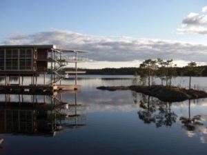
Rømskog is a municipality in Østfold county, Norway. The administrative centre of the municipality is the village of Rømskog. The new municipality of Rømskog was separated from Rødenes on 1 January 1902.
Contents
Map of R%C3%B8mskog, Norway
Slavasshøgda is a hill in Rømskog and is the highest point in Østfold county at 336 metres (1,102 ft).
Name
The Old Norse form of the name was Rymsskógr. The first element is the genitive case of the name of the lake Rymr (now Rømsjøen) and the last element is skógr which means "wood" or "forest". The meaning of the name Rymr is unknown.
Coat-of-arms
The coat-of-arms is from modern times. They were granted on 22 July 1983. The arms show a pair of silver logging tongs on a blue background. Since forestry is the main source of income for the municipality, it was considered an appropriate symbol.