
Time zone EET (UTC+2) Local time Saturday 7:53 PM | Charter 1874 Municipal tax rate 21% | |
 | ||
Area rank 197th largest in Finland Weather -1°C, Wind SW at 2 km/h, 86% Humidity | ||
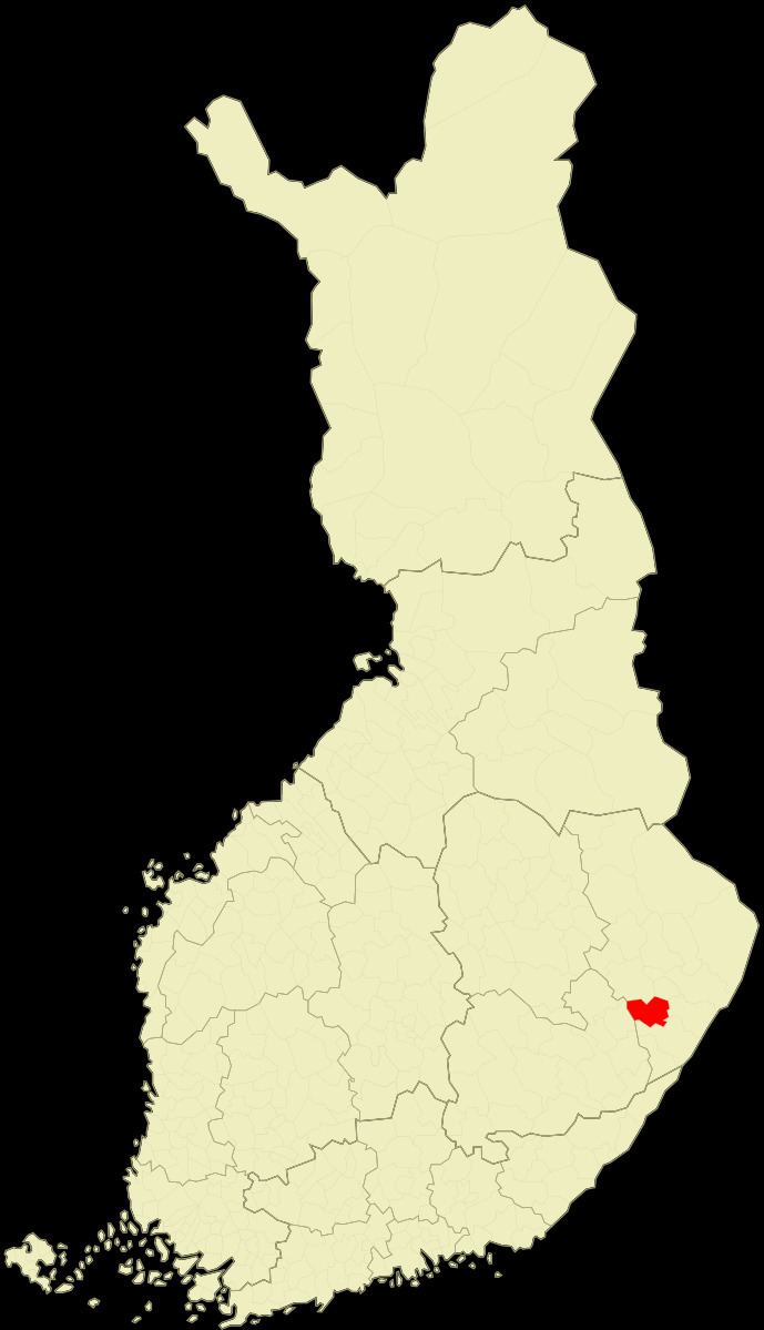
Rääkkylä (Swedish: Bräkylä) is a municipality of Finland.
Contents
Map of 82300 R%C3%A4%C3%A4kkyl%C3%A4, Finland
It is located in the province of Eastern Finland and is part of the North Karelia region. The municipality has a population of 2,343 (31 March 2016) and covers an area of 427.66 square kilometres (165.12 sq mi) of which 272.01 km2 (105.02 sq mi) is water. The population density is 5.48 inhabitants per square kilometre (14.2/sq mi). Neighbouring municipalities are Joensuu, Kitee, Liperi, Savonlinna and Tohmajärvi.
The municipality is unilingually Finnish. The municipality has previously also been known as "Bräkylä" in Swedish documents, but is today referred to as "Rääkkylä" also in Swedish.
Rääkkylä as an independent municipality was established in 1874 from parts of Kitee and Liperi.
Leading Finnish kantele manufacturer Koistinen Kantele has been functioning in Rääkkylä since 1995.