
Elevation 4,191 m (13,750 ft) Postal code 815500 | Time zone China Standard (UTC+8) Area 47,000 km² | |
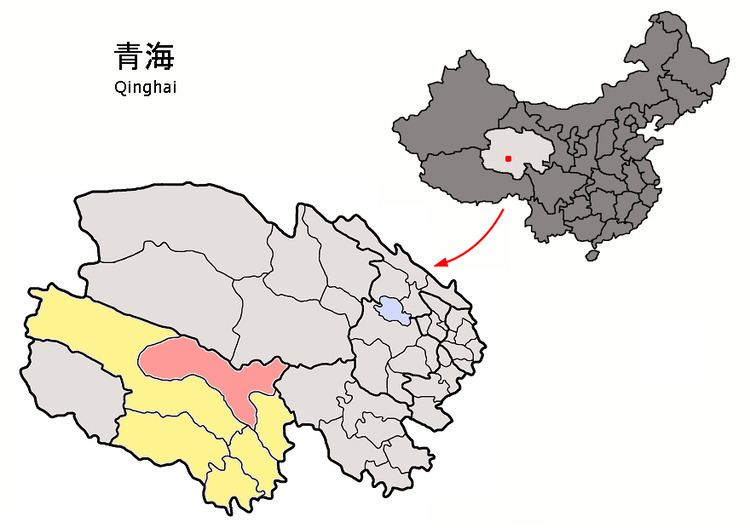 | ||
Qumarlêb County (Tibetan: ཆུ་དམར་ལེབ་རྫོང; Chinese: 曲麻莱县) is a county in the northeast of the Yushu Tibetan Autonomous Prefecture, south-central Qinghai province, China.
Contents
Map of Qumarleb, Yushu, Qinghai, China
Geography and climate
With an elevation of around 4,200 metres (14,000 ft), Qumarlêb County has an alpine climate (Köppen EH), with long, very cold and winters, and short, rainy, cool summers. Average low temperatures are below freezing from mid September to late May; however, due to the wide diurnal temperature variation, average highs are only below freezing from mid/late November thru early March. Despite frequent rain during summer, when a majority of days sees rain, no month has less than 50% of possible sunshine; with monthly percent possible sunshine ranging from 51% in June to 78% in November, the county seat receives 2,782 hours of bright sunshine annually. The monthly 24-hour average temperature ranges from −14.5 °C (5.9 °F) in January to 8.9 °C (48.0 °F) in July, while the annual mean is −2.13 °C (28.2 °F). Over three-fourths of the annual precipitation of 406 mm (16.0 in) is delivered from June to September.