
Area 2,020 km² Local time Tuesday 3:57 PM | State Ceará Population 80,605 (2010) | |
 | ||
Weather 19°C, Wind E at 13 km/h, 90% Humidity University Faculdade Católica Rainha do Sertão | ||
Quixadá is a municipality in the state of Ceará, in Brazil. It is known for its unusual rock formations, known locally as monoliths.
Contents
Map of Quixad%C3%A1, Cear%C3%A1, Brazil
Location
Quixadá is located at around 4°58′15″S 39°0′54″W. It was founded in 1870 and had a population of 80,605 residents in 2010, according to the Brazilian census. It is the seat of the Roman Catholic Diocese of Quixadá.
Pre-historic cave paintings and other archaeological remains have been found in the vicinity. The municipality contains the 16,635 hectares (41,110 acres) Quixadá Monoliths Natural Monument, a fully protected area around and containing the highly unusual inselbergs known locally as monoliths, which are of considerable tourist interest. The The Barragem do Cedro (Cedar Dam) was built between 1890 and 1906 using stone masonry, cement and steel, at the foot of the Pedra da Galinha Choca (Brooding Hen Rock), the most famous of the monoliths. On 30 January 2015 the dam was placed on the tentative list as a UNESCO World Heritage Site.
Sports
Quixadá Futebol Clube is the town's soccer club.
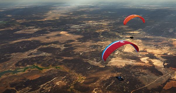
Quixadá is a major paragliding spot in Brazil. It is famous for many flight distance world record breaks in the last years, and attracts pilots from around the world every November when potential record-breaking conditions set up.
Hang gliding and climbing are other extreme sports popular in the area.