Trisha Shetty (Editor)

Quipapá

Updated on
Edit
Like
Comment
Share on FacebookTweet on TwitterShare on LinkedInShare on Reddit
Area
  
225.6 km²

Quipapá httpsiytimgcomvi71yaH9SIq0ghqdefaultjpg

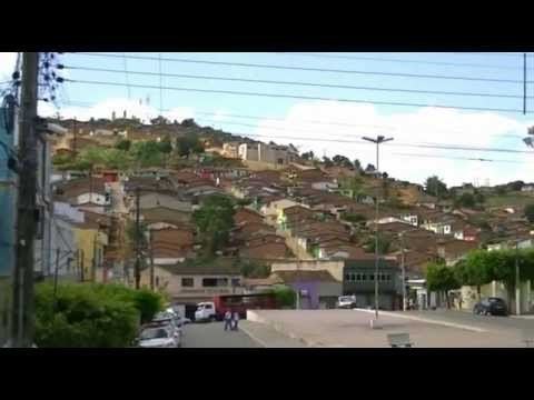
Quipapá is a city located in the state of Pernambuco, Brazil. Located at 186 km away from Recife, capital of the state of Pernambuco. Has an estimated (Ibge 2009) population of 25.603 inhabitants.

Contents

Map of Quipap%C3%A1 - State of Pernambuco, Brazil

Geography

  • State - Pernambuco
  • Region - Zona da mata Pernambucana
  • Boundaries - Panelas (N); Alagoas state (S); São Benedito do Sul (E); Canhotinho and Jurema (W)
  • Area - 230.61 km2
  • Elevation - 462 m
  • Hydrography - Una and Mundaú rivers
  • Vegetation - Subperenifólia forest
  • Clima - Hot tropical and humid
  • Annual average temperature - 22.9 c
  • Distance to Recife - 186 km
  • Economy

    The main economic activities in Quipapá are based in agribusiness, especially sugarcane, bananas, manioc; and livestock such as cattle, sheep and poultry.

    Economic indicators

    Economy by Sector 2006

    References

    Quipapá Wikipedia


    Similar Topics