
Founded 26 June 1826 Elevation 1,496 m (4,908 ft) Population 7,141 (2015) Founder José Joaquín Guarín | Founded by Josè Joaquin Guarín Area 138.5 km² Local time Tuesday 8:41 AM | |
 | ||
Weather 19°C, Wind N at 3 km/h, 92% Humidity Province | ||
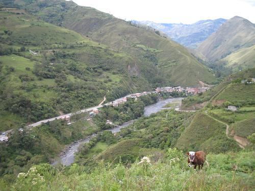
Quetame is a municipality and town of Colombia in the Eastern Province, part of the department of Cundinamarca. The urban centre of Quetame is located at 62 kilometres (39 mi) from the capital Bogotá at an altitude of 1,496 metres (4,908 ft). The municipality borders Fómeque in the north, Fosca and Cáqueza in the west, the department of Meta in the east and in the south with Guayabetal.
Contents
Map of Quetame, Cundinamarca, Colombia
Etymology
The name Quetame comes from Chibcha and means "Our farmfields on the mountains".
History
In the times before the Spanish conquest, Quetame was inhabited by the Muisca. Quetame was loyal to the cacique of Ubaque.
Modern Quetame was founded on June 26, 1826 by Josè Joaquin Guarín.
Economy
Main economical activity of Quetame is agriculture with products beans, sagú, maize, peas, arracacha and others.
Earthquake
On May 24, 2008, there was a magnitude 5.5 earthquake with its epicentre in Quetame that caused at least 3 deaths and destroyed 40% of the buildings in the village. The tremor was also felt in Bogotá and Villavicencio.