
Time zone EST (UTC-5) Area 338 km² Population 22,590 (2004) | Founded 1667 Area code(s) +53-422 Elevation 85 m Local time Tuesday 7:30 AM | |
 | ||
Weather 17°C, Wind NE at 3 km/h, 82% Humidity | ||
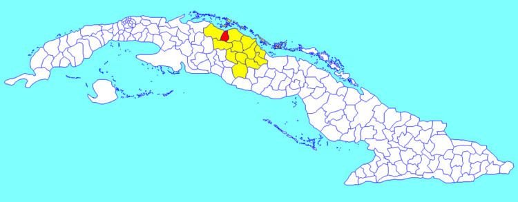
Quemado de Güines ([keˈmaðo ðe ˈɣwines]) is a municipality and town in the Villa Clara Province of Cuba. It was founded in 1667.
Contents
Map of Quemado De Guines, Cuba
Geography
The municipality is divided into the poblados of Caguaguas, Carahatas, Güines, Paso Cavado, Poblado, San Valentín and Zambumbia and Jose R. Riquelme.
It borders with the municipalities of Corralillo in the west, Sagua la Grande in the east, and Santo Domingo in south.
Demographics
In 2004, the municipality of Quemado de Güines had a population of 22,590. With a total area of 338 km2 (131 sq mi), it has a population density of 66.8/km2 (173/sq mi).
People from
References
Quemado de Güines Wikipedia(Text) CC BY-SA